This a a definite candidate for the TLDR post of the year, but I’m posting it anyway because 1) I finally got it done, so why not, and 2) I want it up for my future self to come back to for the memories.
Part 1: The trip that wasn’t
I set out a couple of weeks ago (edited to clarify—early April 2022) for a trip to the SW that I figured would take about a month. Since it was the longest trip I had planned in years, I was both excited and a bit nervous about it. What would I forget? (I always forget something, usually something relatively minor that can be picked up in a store along the way.) How would I deal with the weather? (Both hot and cold weather were in the forecast along the route.)
I set out with a well-loaded van, freshly serviced, feeling pretty good. Which lasted maybe six miles, when the “something’s wrong with the oil” light came on. Which freaked me out, since it had been serviced just the previous week.
Cutting out some of the details, I remained freaked out all the way up to Roseburg. Turned out the old guy who had done the actual work had overfilled the oil. The couple who own the garage kept telling me it was ok for it to be a bit over, but I remained unconvinced, and having that oil light on kept me anxious and freaked. I couldn’t face seeing it constantly on for the next couple thousand miles, so I got an oil change in Roseburg. Not cheap, but my local garage will reimburse me, so problem resolved.
By this time, it’s three o’clock, and I haven’t had lunch. The campground I had planned to stay in that night was less than an hour and a half down I-5. I debated with myself about what to do—get lunch in Roseburg? Go to a closer (but much less nice) CG? My adrenaline level was slowly easing at this point, so I finally decided to get out some crackers to snack on and press on to my goal.
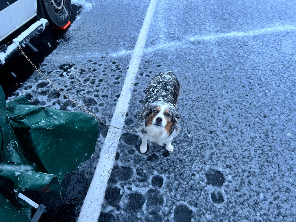
By the time I got to the CG, picked my spot, registered, had some lunch, and did some setup, I was beginning to feel normal. We were in for some weather, but Scamp and I got in a walk,
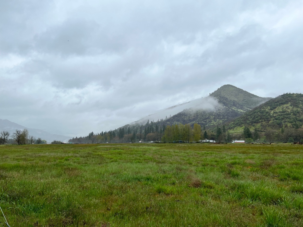
And I got things all set up for the cats. I hadn’t yet remembered anything I had forgotten, so was beginning to feel that good on-my-way feeling one gets at the beginning of a trip.
By morning, the weather had arrived. I broke camp in the rain, which went about as usual for breaking camp in the rain. Got back on the freeway—eventually. First had to wait for this to finish getting cleared out of the way.
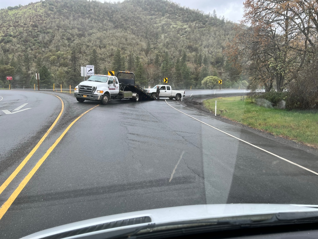
I still can’t figure out how that guy managed to get himself off the ramp—it’s not like one can get up to speed in that spot.
The plan was to get over the Cascades on Route 140. Snow was in the forecast, but not that many miles of it, and I had my chains with me, so over and up I went. The rain became mixed with snow, and eventually just plain snow. Nothing sticking to the road yet.
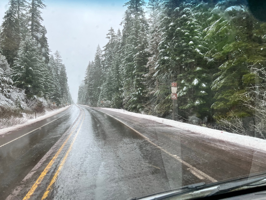
The snow was getting heavier, and falling snow is pretty, so I dared to take this.
Barely dared. I got the camera out and managed to hit video, and hold it up while I peered under it so I could steer. Left-handed. For all of six seconds. On a straight stretch. Things got more intense further on, but I figured I’d used up my dumb luck for the day, and neither wanted to pull over into snow and stop to take more video or pictures, nor risk the whole do-it-while-moving thing again.
There was a stretch of several miles where the snow was sticking to the road, but at no point along that stretch was there a place I could pull over safely to put on the chains, so I just white-knuckled it and kept driving. Caught up to a car that did have chains on, and was consequently driving quite slowly; I was happy to follow it from a safe distance.
Eventually I got down out of the snow and to Klamath Lake, where I pulled into a rest area type spot for lunch.
The tide of adrenaline was starting to recede, and by the time I fueled up in Klamath Falls and drove down to Lava Beds National Monument I was starting to feel pretty good.
Right up until I pulled into the Visitor’s Center and began looking for my wallet.
Which was gone. Nowhere to be found.
Panic of course ensued.
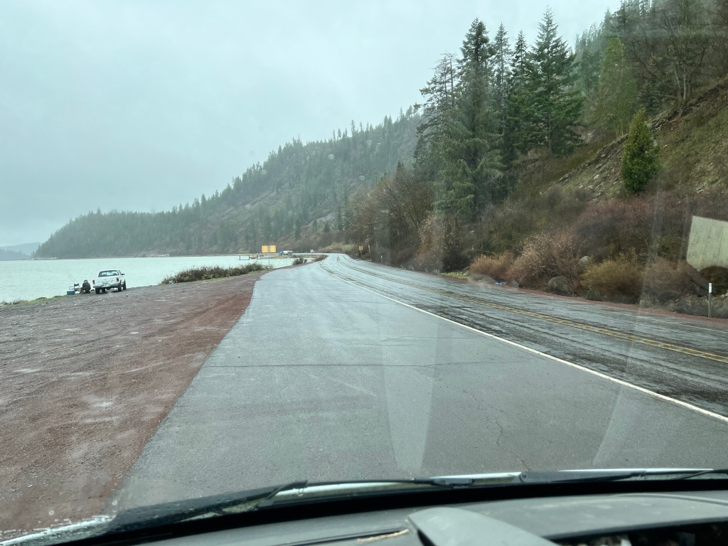
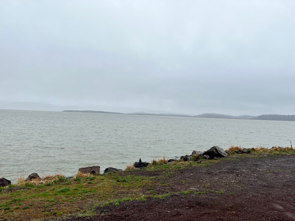
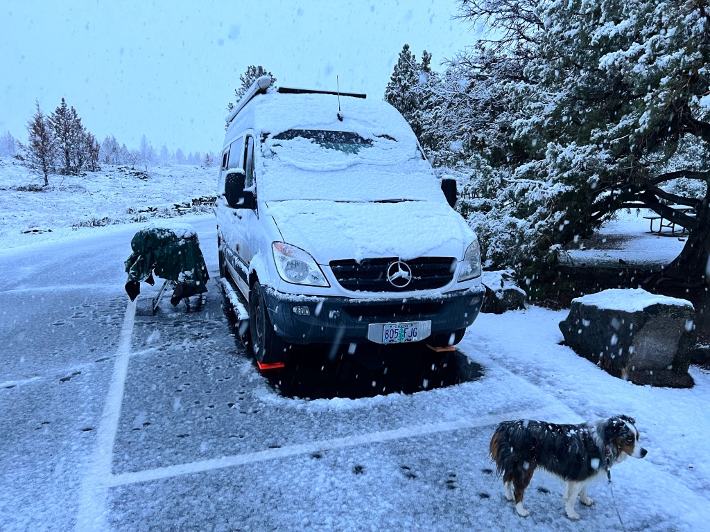
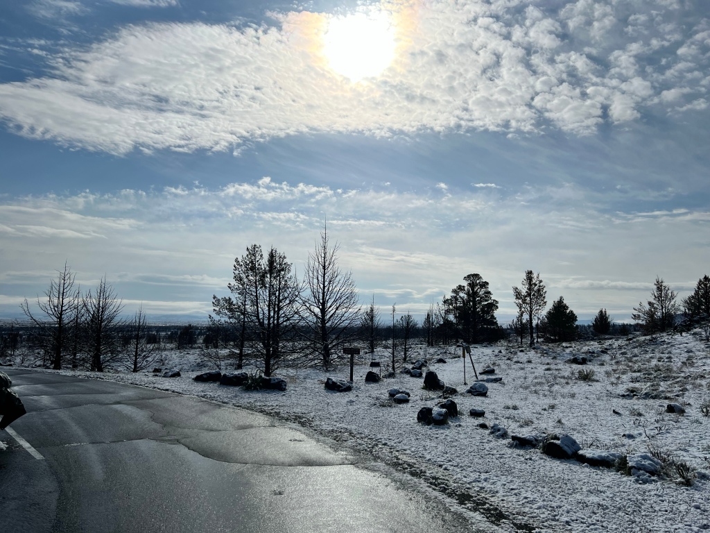
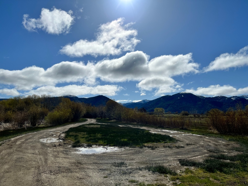
I called the CG to see if anyone had turned in the wallet. Nope. Called the bank and canceled my card and, when prompted, my checking account. The next morning, I drove back up to Klamath Falls and got the process of getting a replacement driver’s license started. Debated getting a slew of cash from my bank and continuing the trip using just cash, but good sense and prudence prevailed, and I headed back to the CG I had left just the day before. Under very different conditions; this was my view when I stopped for lunch.
And this was the view at the CG we had been at that first night.
There was still no sign of the wallet back at the CG, though I checked again with both park ranger and camp host. I concluded I must have left it at the registration kiosk where I filled out my registration form, and paid by check, which is why I had the wallet with me.
In the end, I just went back home to deal with cards and bank and await my driver’s license, arriving home just three days after I left on The Trip That Wasn’t.
The trip that was
Once my new credit card and replacement license, SS card, and Medicare card arrived, and a few more details were taken care of with the bank, I felt ready and able to get out again. Mostly able. The seriousness of the near-disaster of losing the wallet, for which I could only hold myself responsible, left me questioning, for the first time in my adult life, if I’m safe to travel alone. The potential for major financial consequences, in combination with how rapidly my daily energy depletes to the detriment of both physical and mental coping, had me worried . The energy depletion was likely why I made the error of leaving the wallet in the first place. I toyed with the idea of trying for the SW again, but didn’t feel there was adequate time to do that. But I wanted to get out further and for more time than the short, 2-4 night trips I’ve mostly taken the past few years.
So I planned a ten day-two week trip, east to the desert. Since my time at Lava Beds had been cut short, I decided to go there and be a proper tourist instead of the freaked out camper of a few weeks before. Also planned for very short drives, to adjust for that energy depletion issue.
The beginning
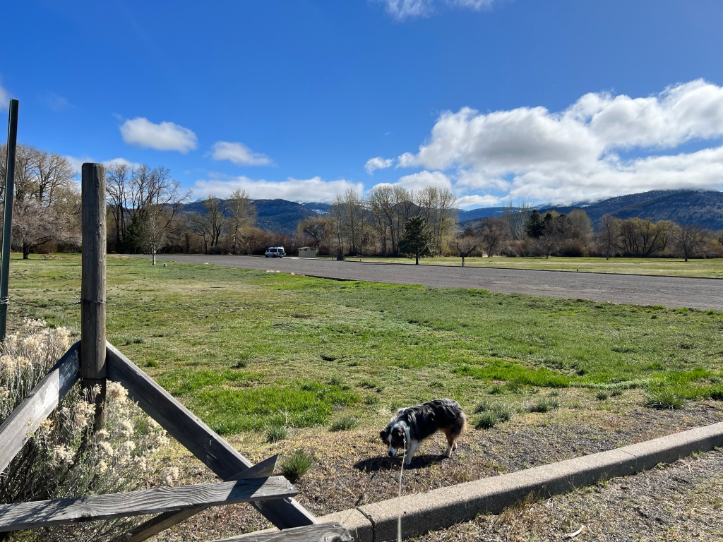
Prep for the trip was relatively easy, because I hadn’t unloaded all that much from before. So a week ago yesterday (typing this on May 1) I loaded up and headed for Whistler’s Bend, just above Roseburg. It’s mildly risky to head out on a Saturday for a popular CG, but I hoped it was early enough to not be full. And it was fine. Maybe 75-80% full, even though there seemed to be a disc golf tournament going on. Got a good site, and was set up in time to take Scamp out for a couple of walks. Had to keep her on leash most of the time, though did let her off when we got down to the river.
Where she was really sure I should throw her some sticks. So eventually I did, taking care to keep them in the shallows so there was no danger of her getting literally carried away.
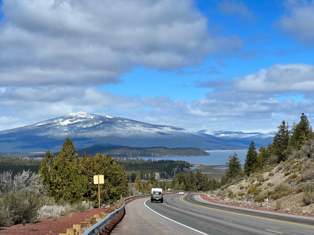
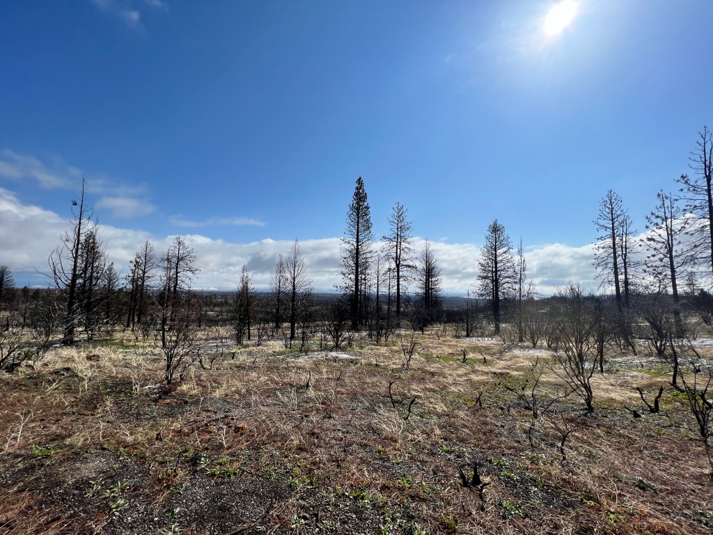
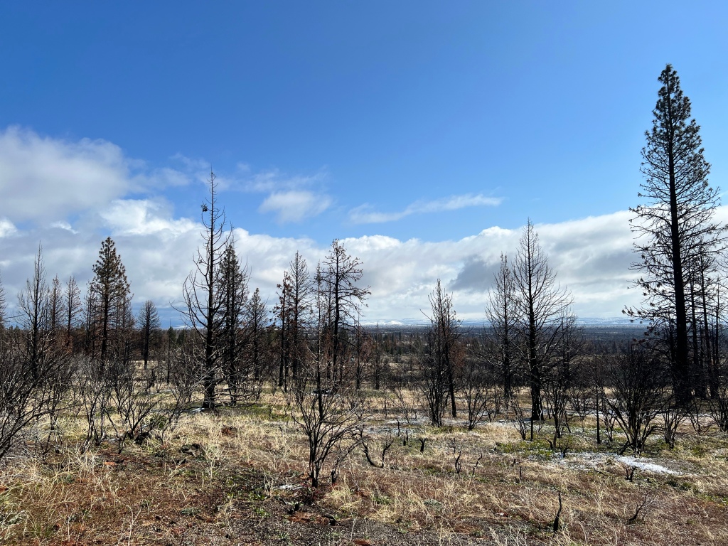
From there, it was up and over the Cascades, past the Crater Lake turnoff. My feelings were a mixed bag. It felt good to be on the road, and the mountains were beautiful. Until we got to the fire zone. This happened last summer.
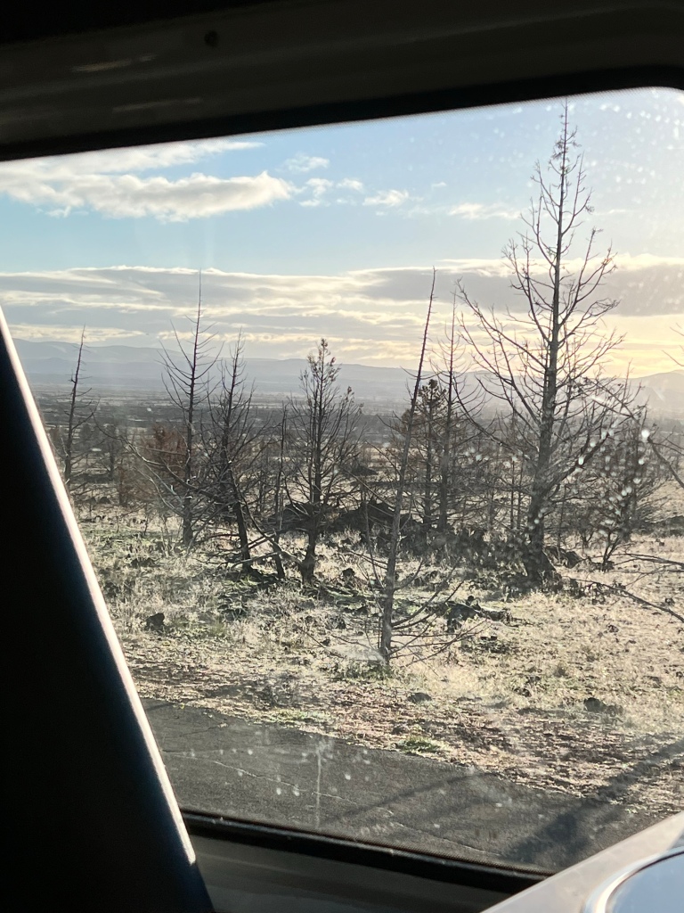
Makes me sad, even though I know fire is part of the ecosystem out here. It’s just been SO widespread the past several years, and it will take decades to centuries to recover. If it ever does, given the reality of climate change.
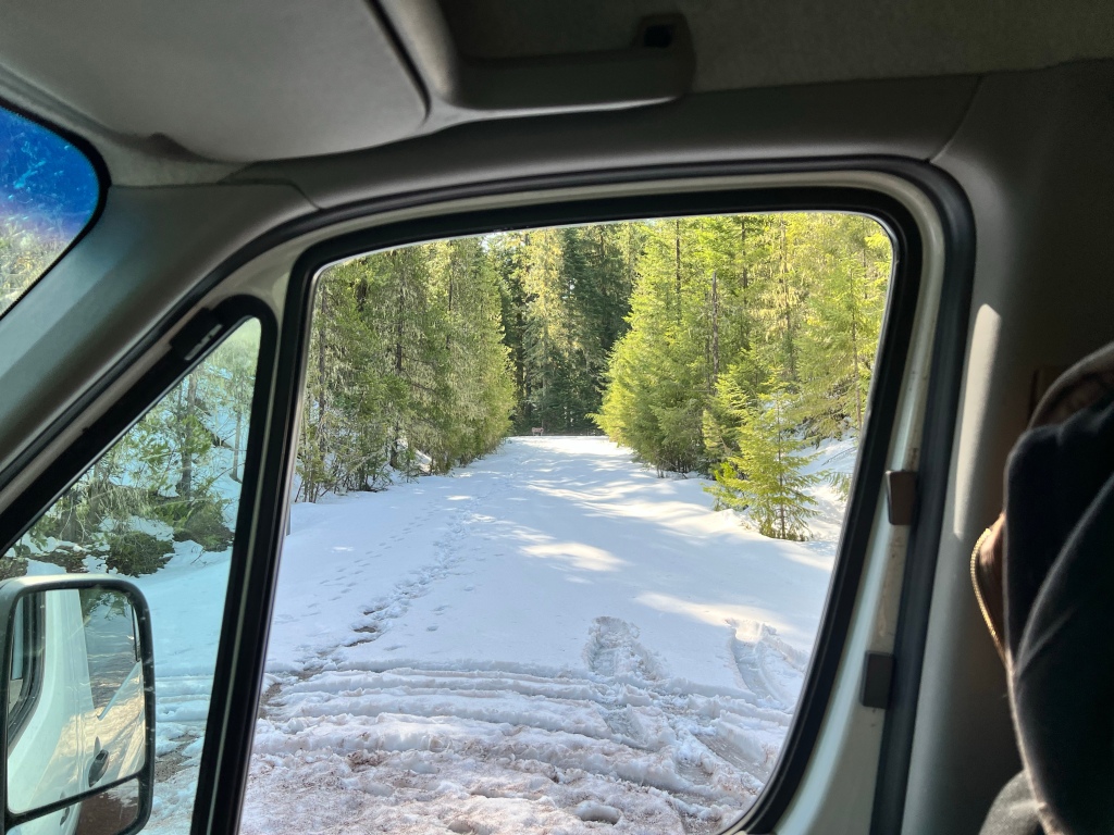
It WAS good to see the snow still lingering up there. This is the turnoff for a very nice CG I’ve stayed at a couple of times. The Forest Service has taken to only opening most of their CGs from Memorial Day weekend through Labor Day. Back in the day, they opened them up according to the weather that year, and I’ve grumbled many times at having CGs closed for no good reason (IMO). Not this year. Totally justified to have this closed 😊.

Here you see snow, dead trees, and some trees that survived the fire. Hopefully the snow, and the additional snow and rain we’ve gotten since I took that picture, will mean a better fire season this year.
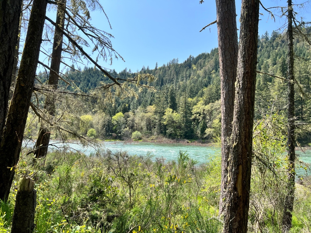
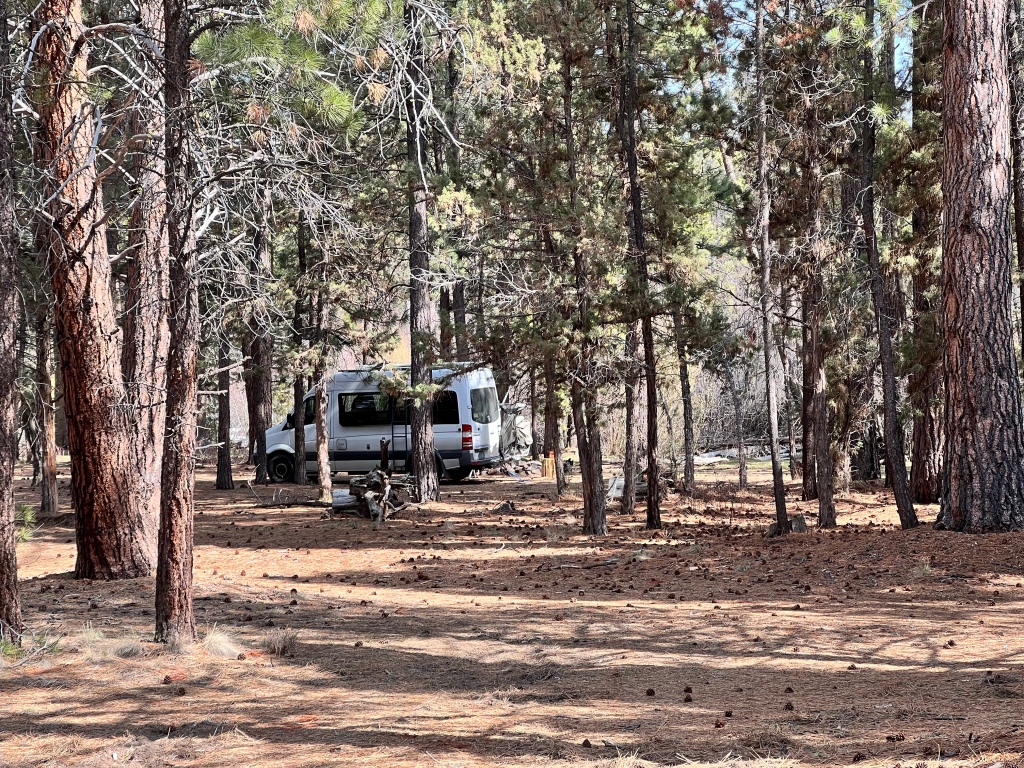
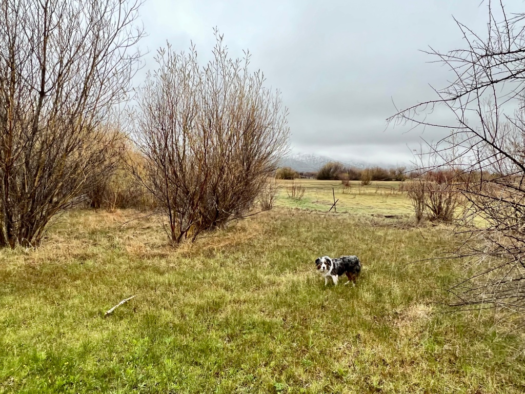
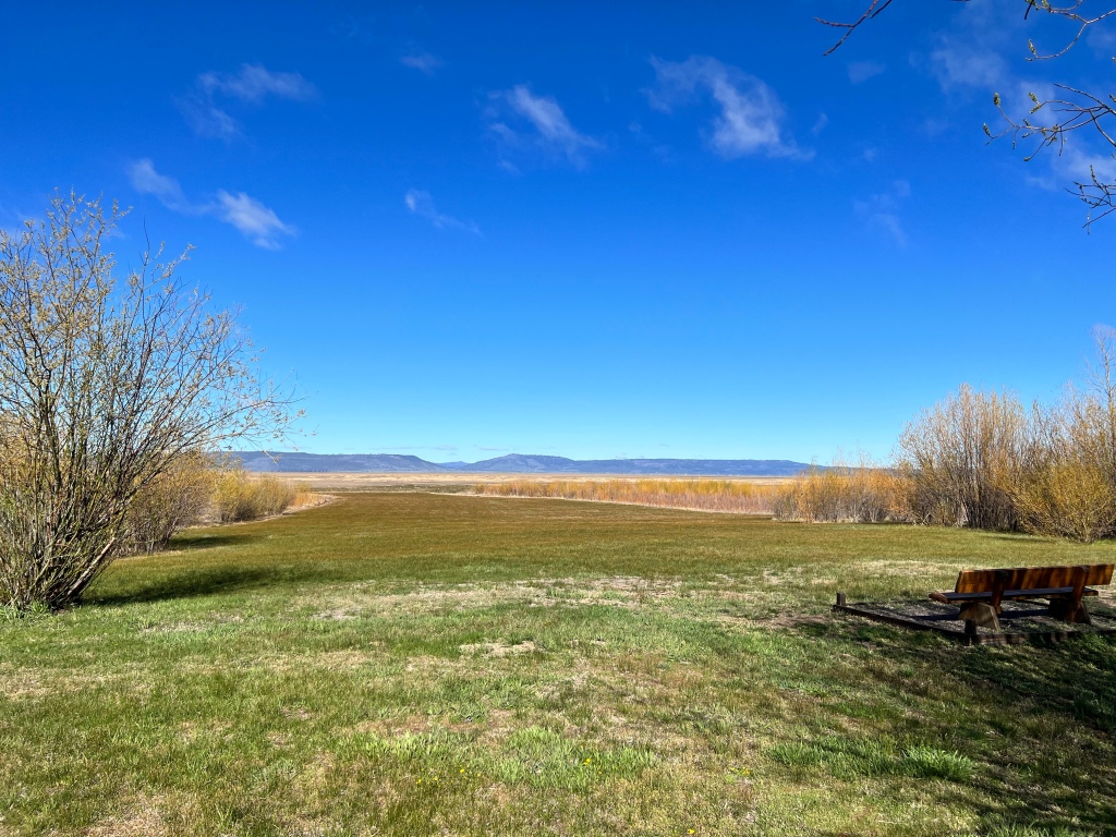
We camped that night in a place we’ve been a couple of times before, that I thought was Lower Buck Creek, but learned this trip is Upper Buck Creek. I’ve loved it every time, but this time was special because we were the only ones there.
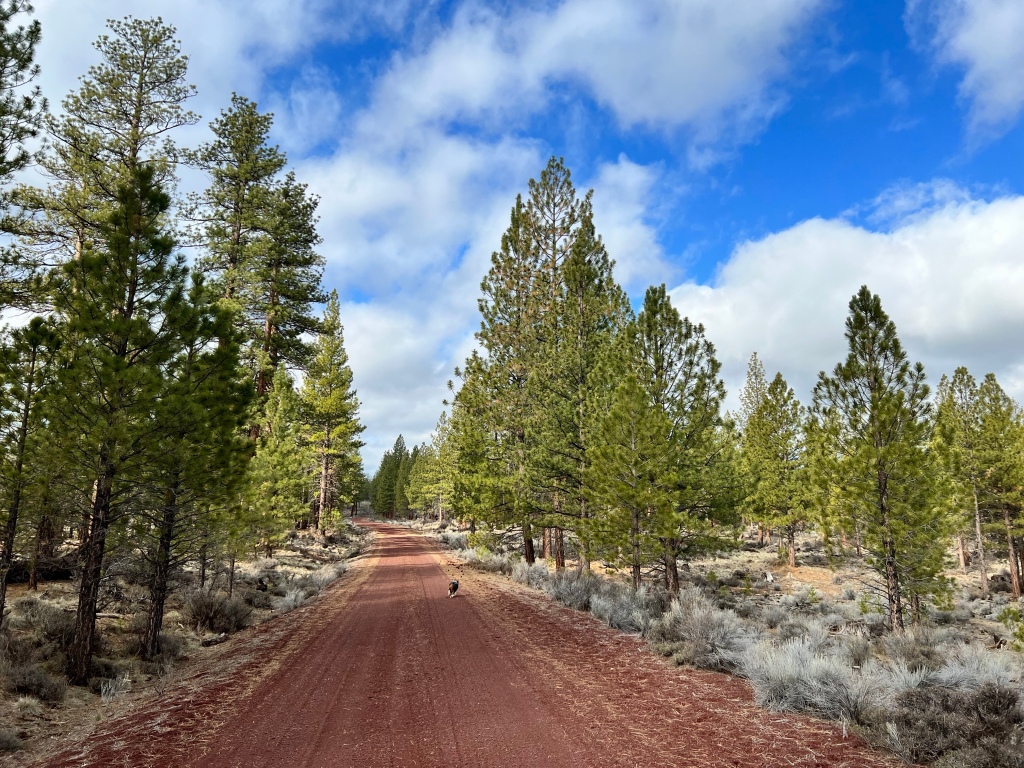
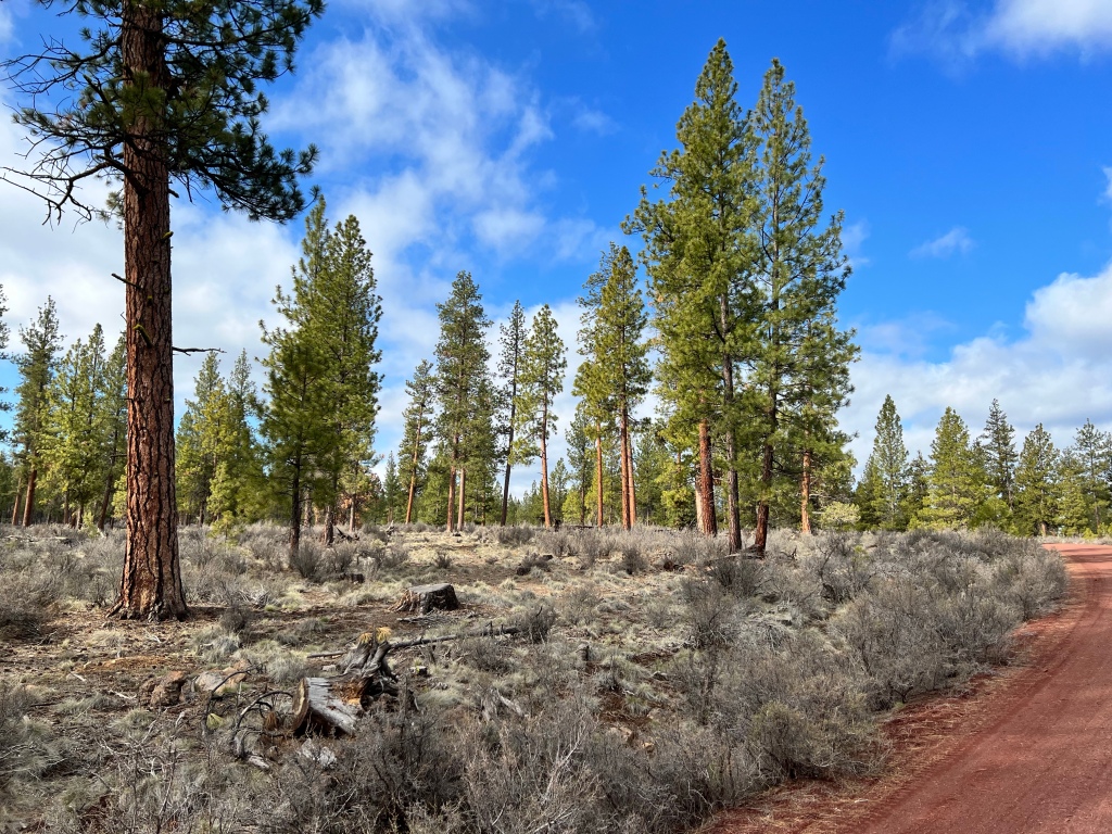
We stayed two nights there. It was very restorative to my soul. Nothing to do, mind you, besides eat and sleep and walk—and just be there. I love my western Oregon home, with all its beauty, but the eastern Cascades have a piney woods forest that’s more reminiscent of my childhood home. Here, lots of Ponderosa pines. The smell is unique and wonderful, but sadly I can’t share that with y’all. But I love being among the trees while still having a clear view in every direction. So here’s a bunch of pictures.
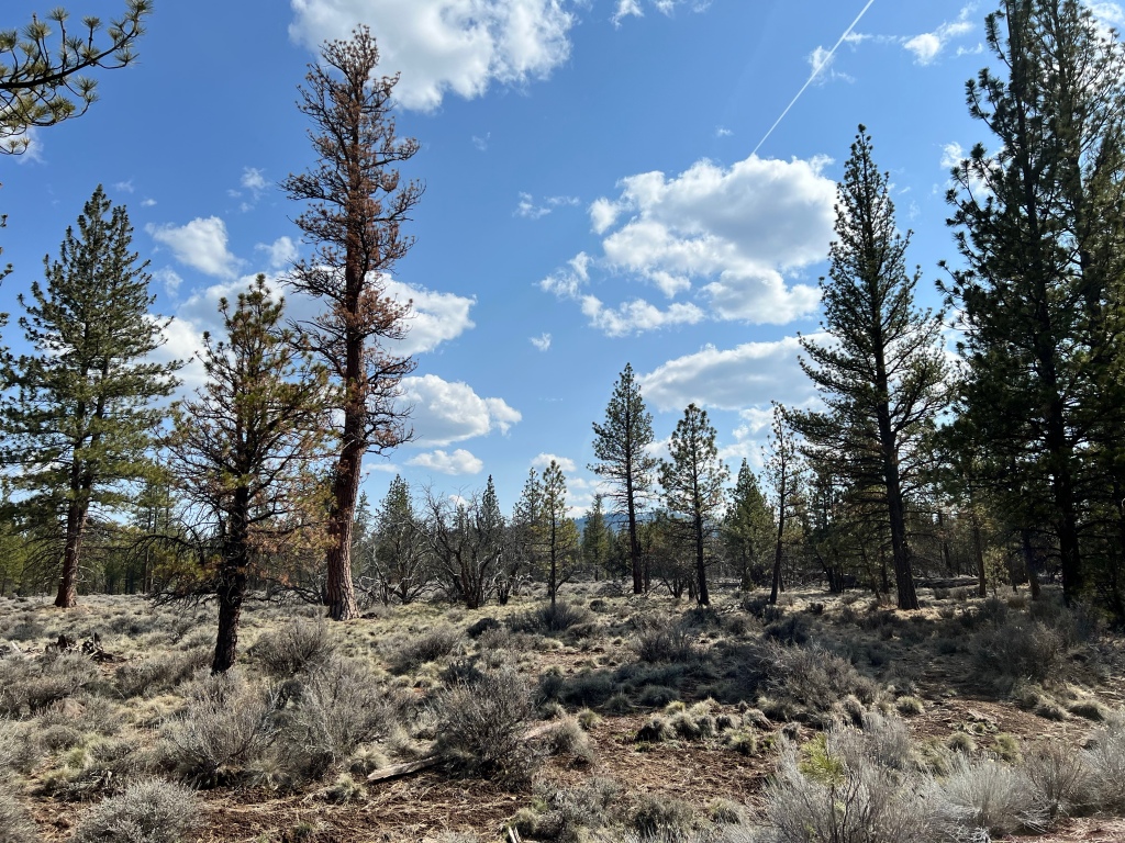
The sky kept grabbing my attention, as in the above.
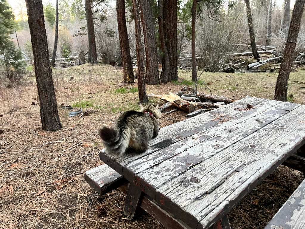
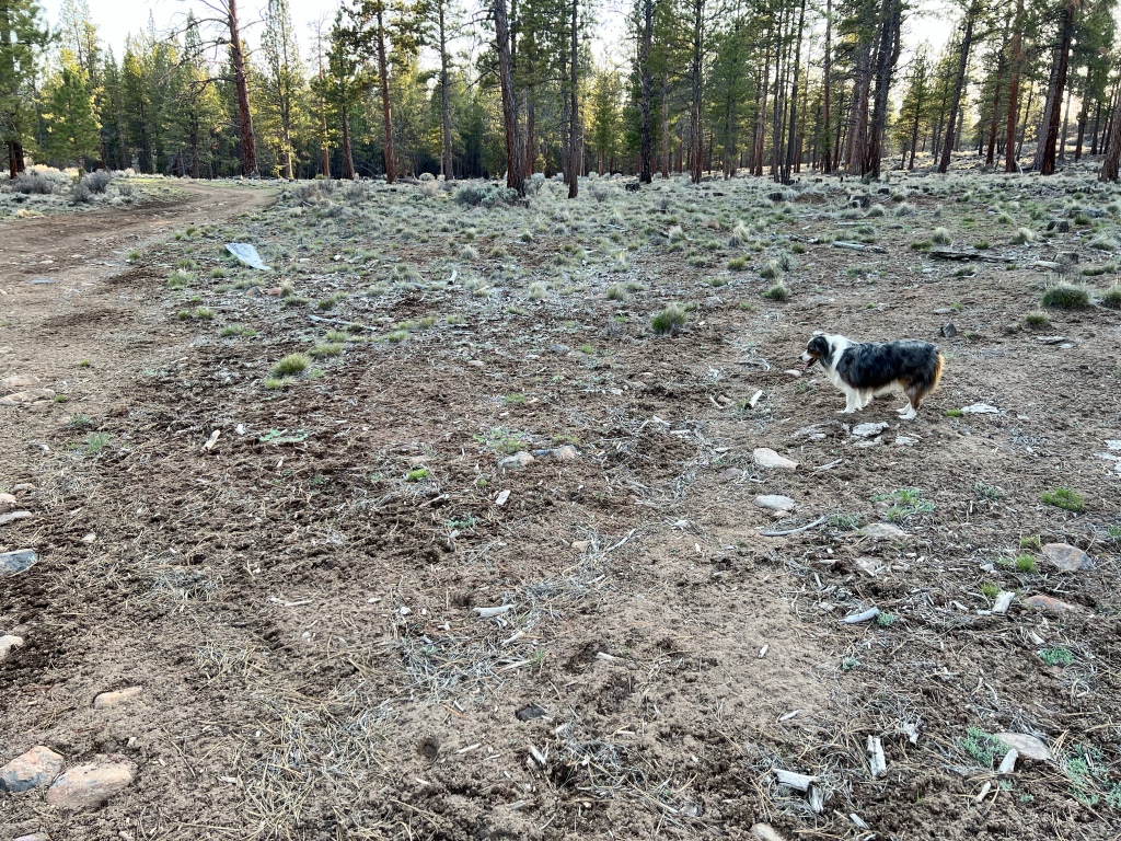
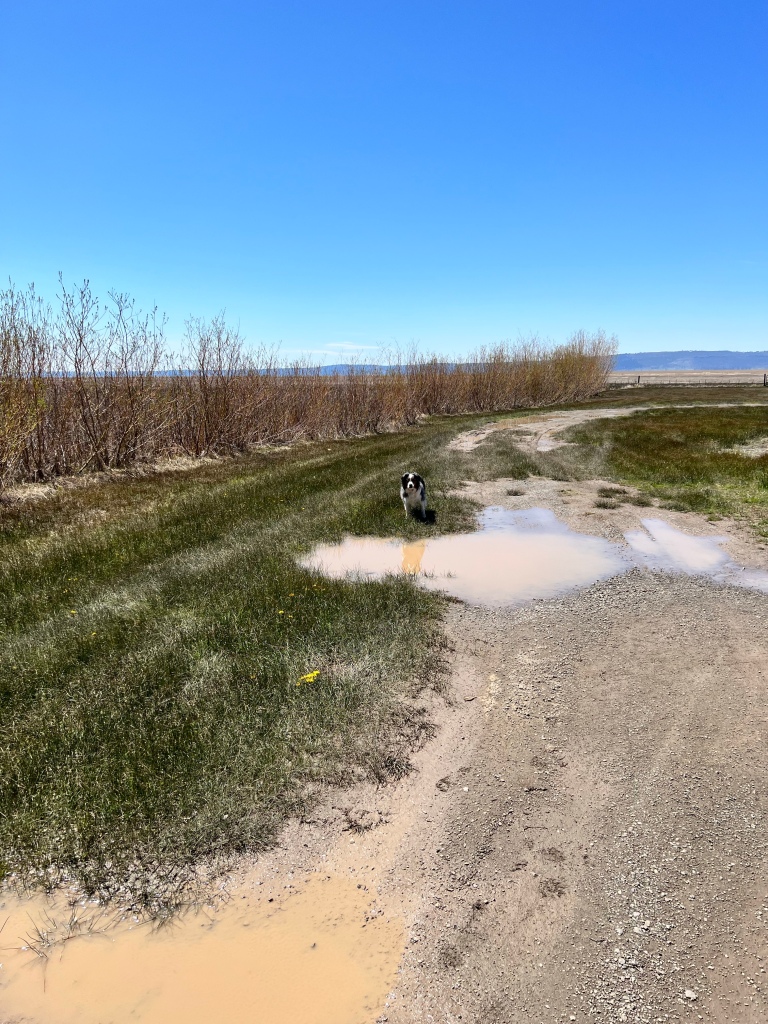
One of my goals for this trip was to be able to let the cats out, and have Scamp out unleashed and on her own. Here’s Shadow.
Here’s Scamp demonstrating her pointing ability. She’s pointing at the stick over to the left of the picture. Her purpose is persuading me to get the stick and throw it for her. If I ignore her, she’ll look at me, and then very pointedly back to the stick, until either I do as she wants or she figures out I’m not gonna..
Here are a couple of short videos, the points of which are explained in the videos themselves.
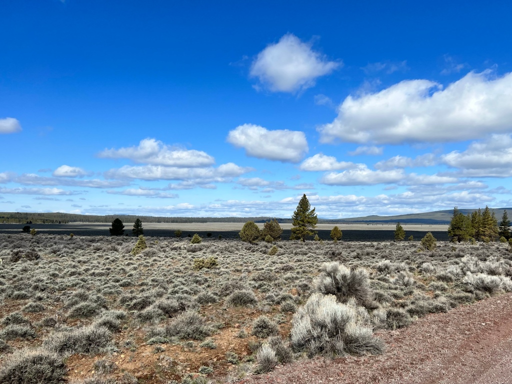
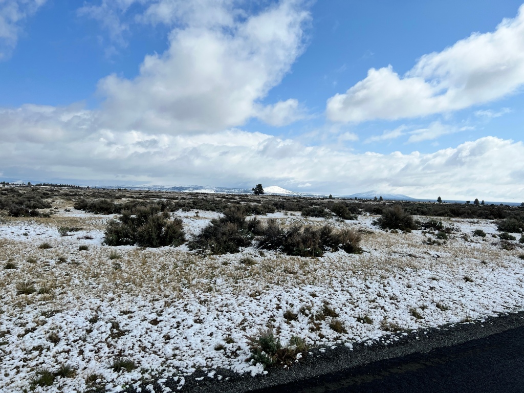
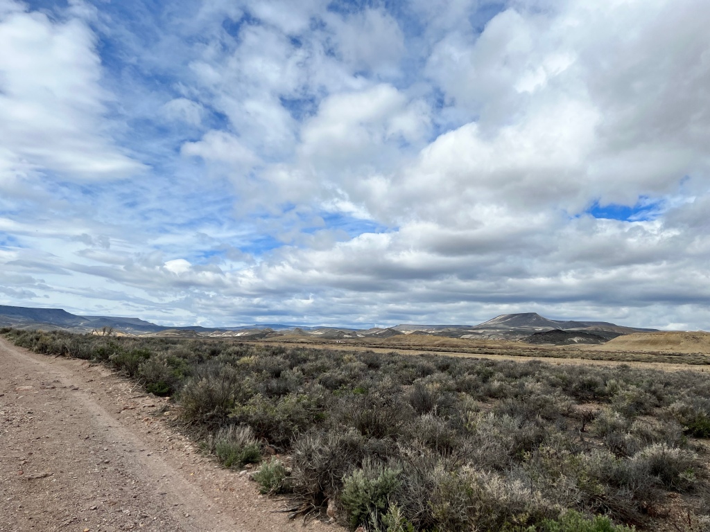
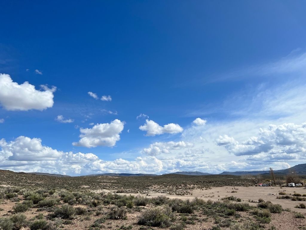
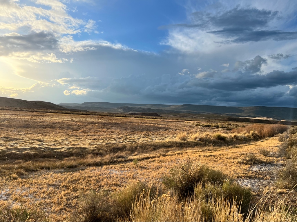
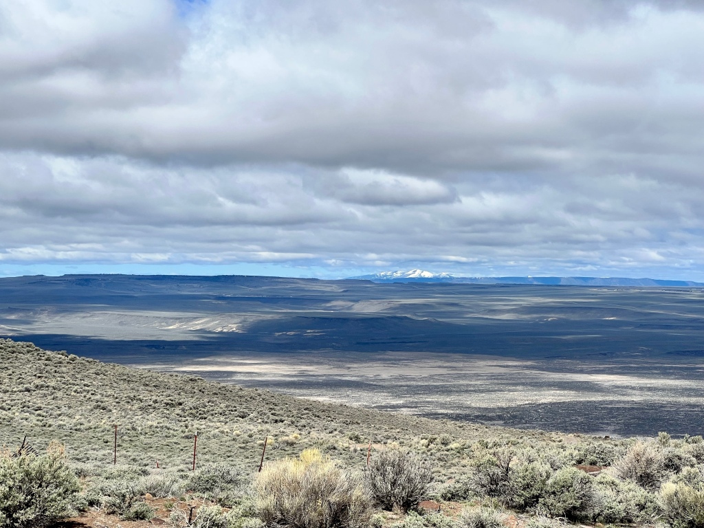
From Buck Creek, I headed back to Lava Beds. On the way out, my attention was once again caught by the sky, and the vista out across the sagebrush here.
Here, it was the critters that caught my attention. I’m pretty sure those are pronghorn antelopes there. There was no way to pull over to take pictures, but there was so little traffic (as in, none while I was stopped) that I was able to get these.
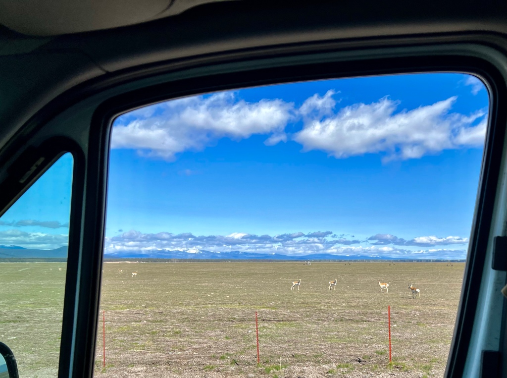
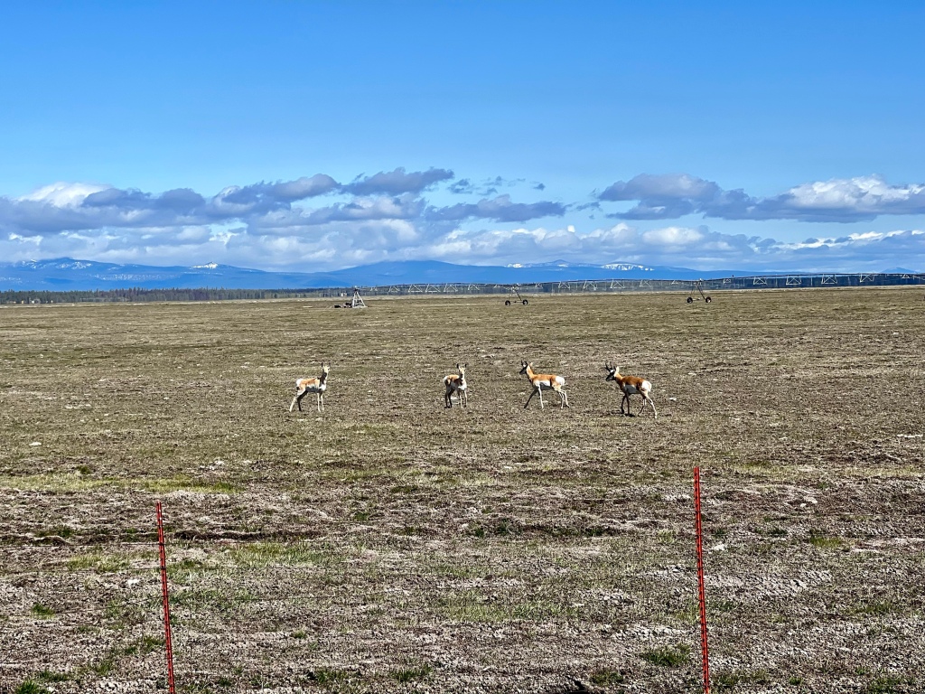
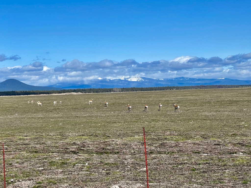
Those are the Cascades in the background.
I was thrilled to see the antelope. It use to be relatively commonplace, fifty years ago or so, to spot a group of them when we were out driving around, but it’s been a long time since I spotted as many as I did on this trip.
Lava Beds
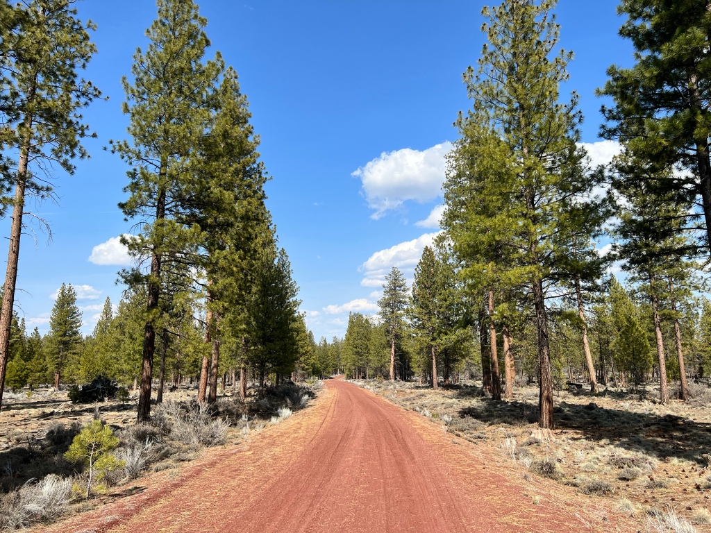
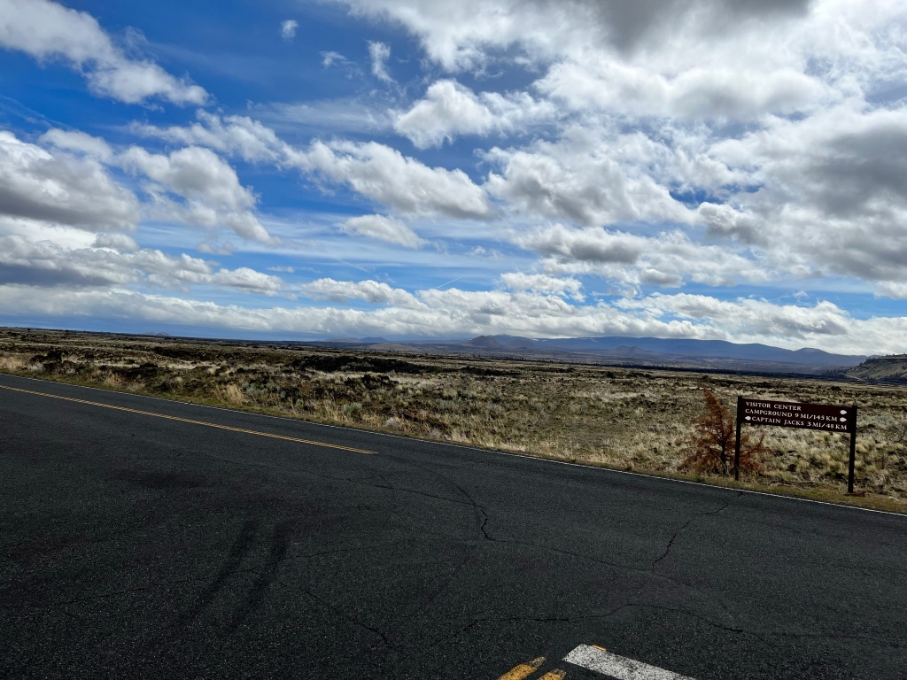
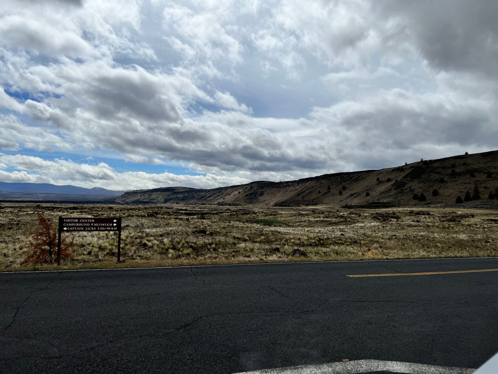
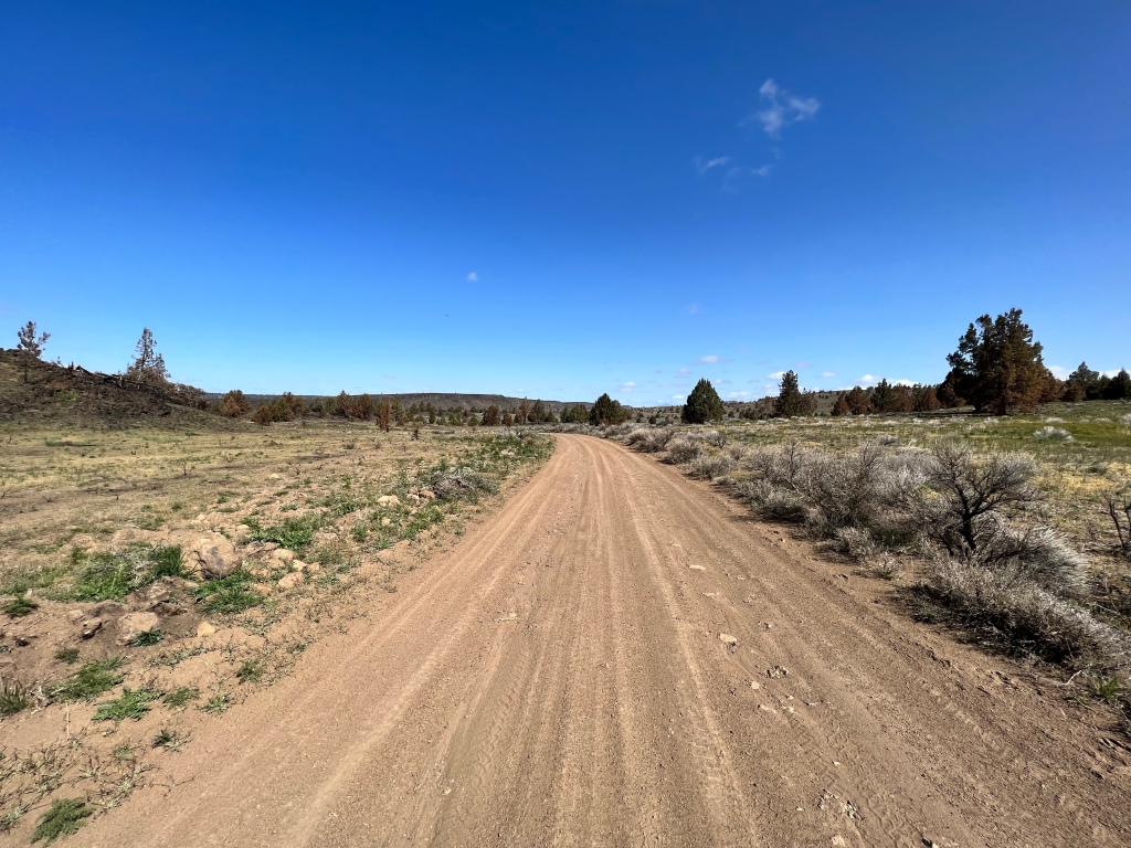
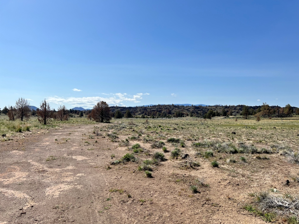
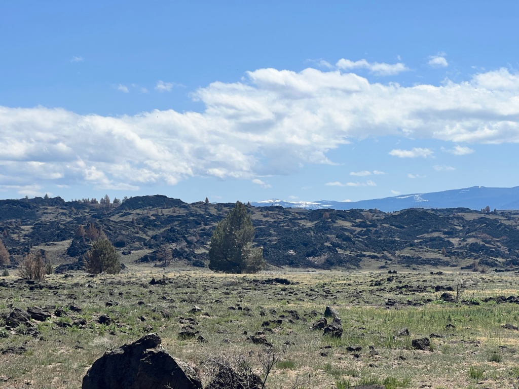
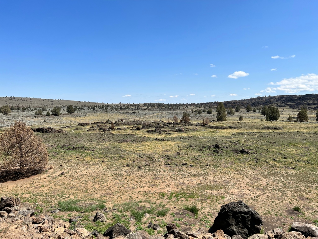
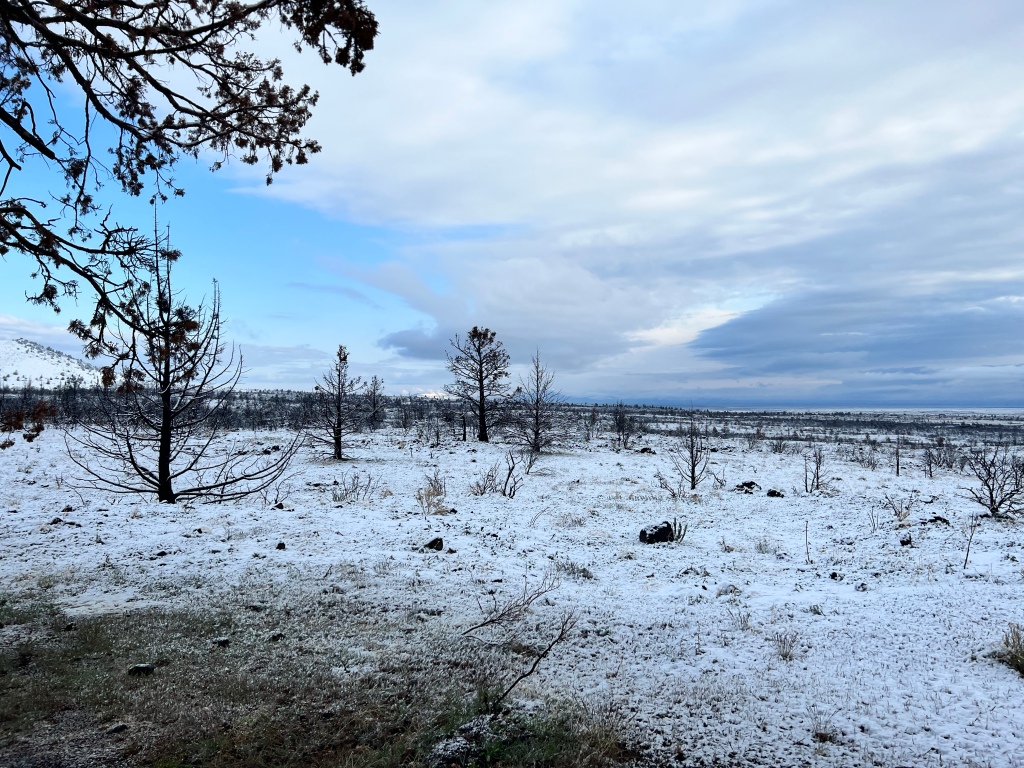
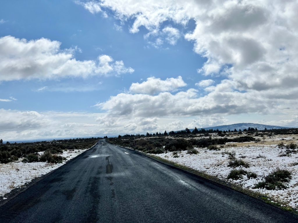
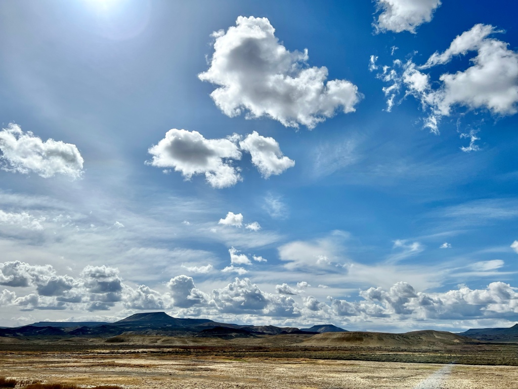
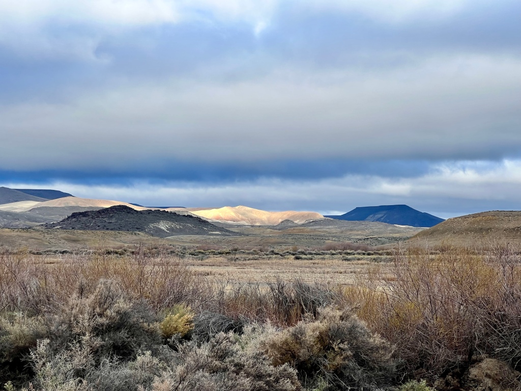
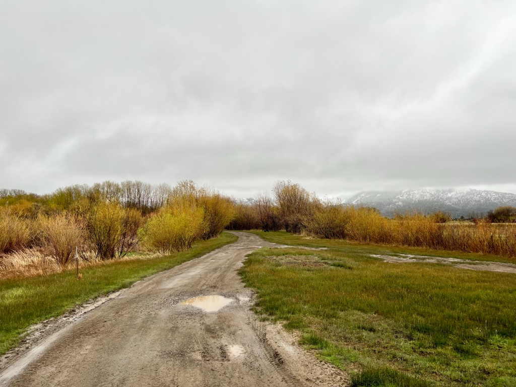
Lava Beds is both like, and different from, other lava flows scattered around the West: Craters of the Moon in Idaho, driving over the Old McKenzie Highway (Hwy 242, skirting north of the Sisters) in Oregon, the Lassen Volcanic Wilderness in California. Here are some pictures from the drive in to the Visitor’s Center and CG. A running theme for this trip was the beauty of the skyscapes, which were often more of a motivation for taking a given picture than the landscape.

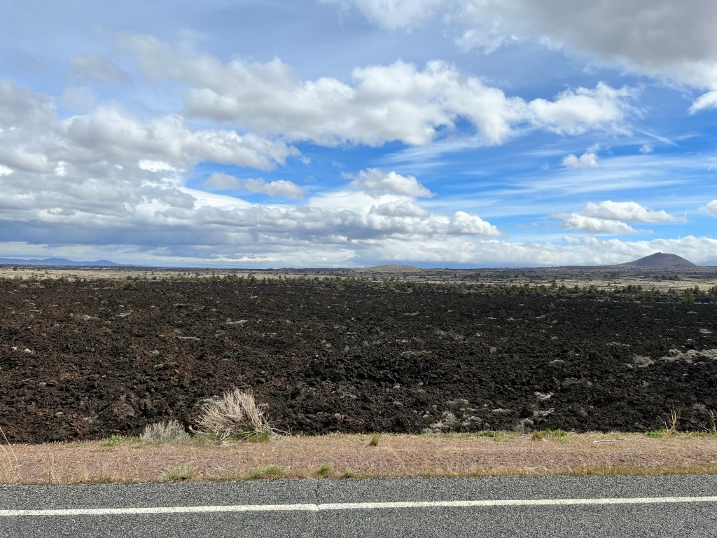
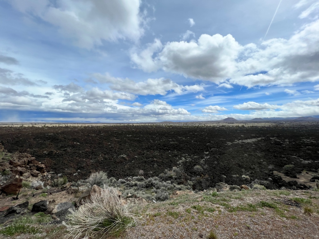

As you can see from that last picture, this area also suffered from the fires last summer. One of the things that was interesting to me is that the sparseness of the trees due to the chronically arid climate served to mitigate the impact of the fire here. Every now and then you’d see a living, green tree that had survived precisely because it was isolated from the nearby burned, dead trees.
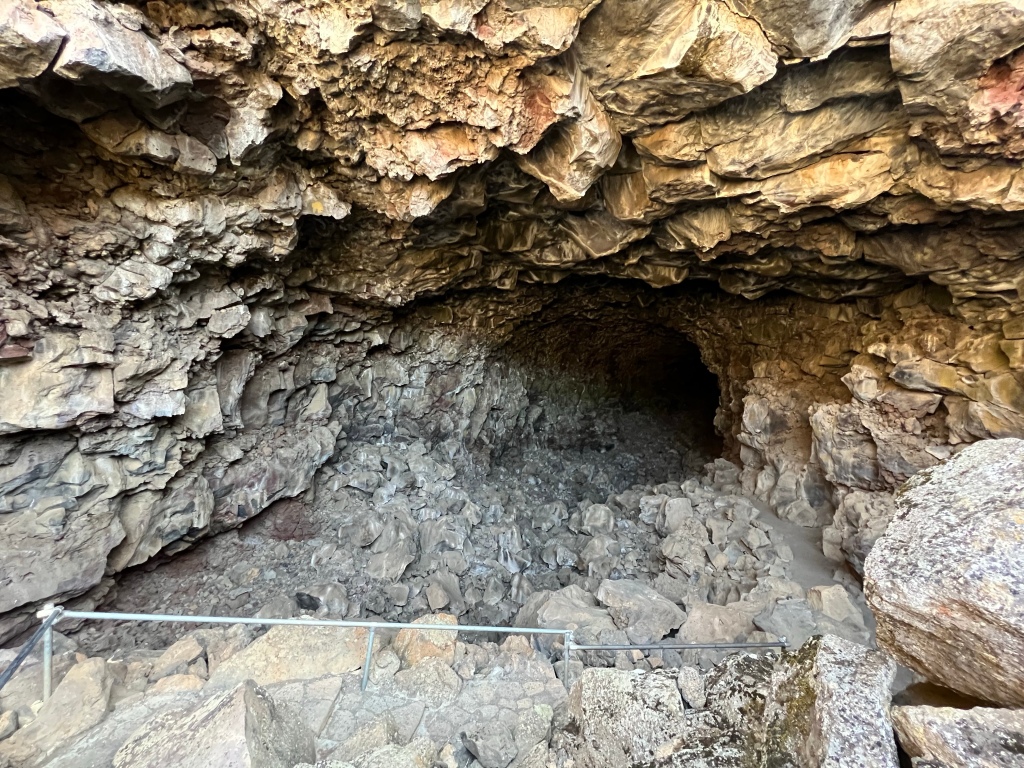
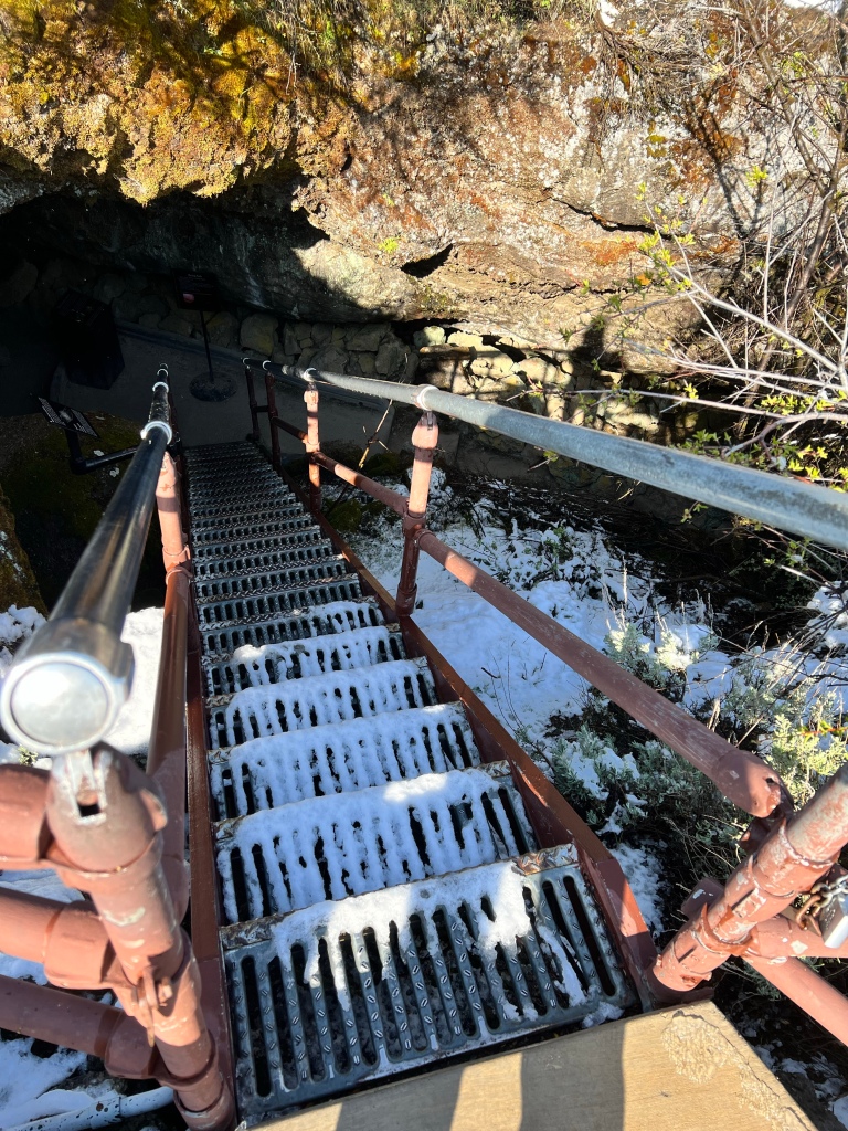
For many (most?) people who visit Lava Beds, the main feature of interest is the caves. I’m neither strongly drawn to nor strongly averse to caves, and I fully intended to explore at least one and possibly more while there. My first attempt was Skull Cave. Here’s the entry; you can see the path in on the right.
A bit further in.
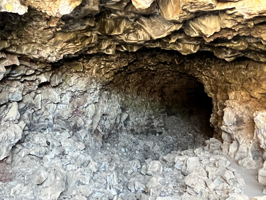
You can’t really tell from the picture, but along about here it was getting hard for me to see. I had flashlights with me, but the daylight coming in from the entrance was just enough to prevent the flashlights (I tried all of them) from illuminating the path well, while not bright enough to illuminate the path itself. Here’s a picture looking back toward the daylight. It doesn’t do justice to the effect— the light at the entry was brighter to my eyes, and the cave darker, than the camera captured.
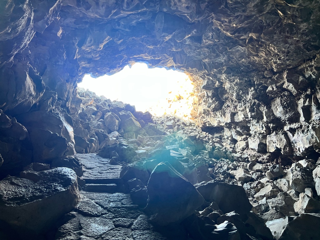
The path is narrow, steepish, and rough. Having read the “Cave Safely” literature handed out at the Visitor’s Center, I was becoming acutely aware that tackling this on my own maybe wasn’t the most sensible thing ever. Sometimes I enjoy challenging myself with slightly risky activities, but I wasn’t enjoying this. So I decided to give up and see if I could find a place to walk Scamp off leash. Legitimately.
Which I did.
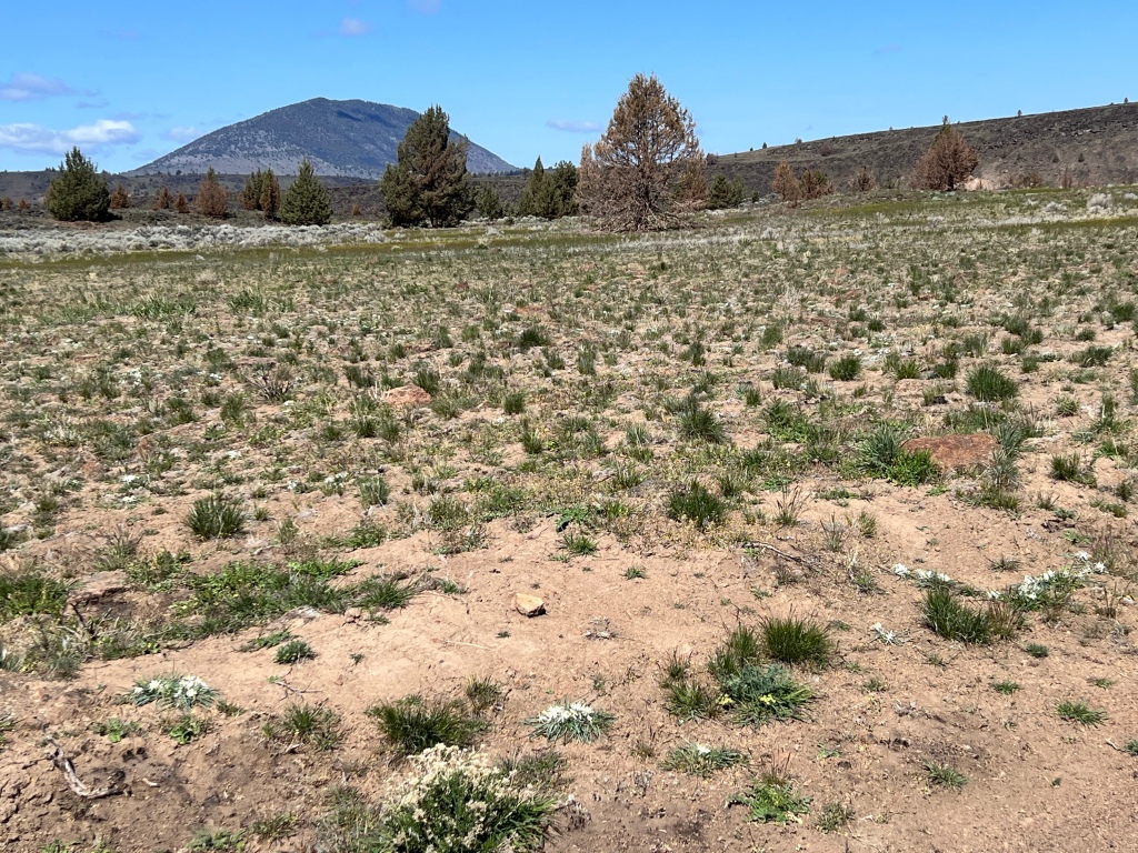
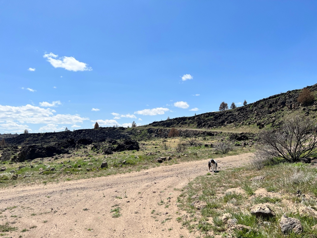
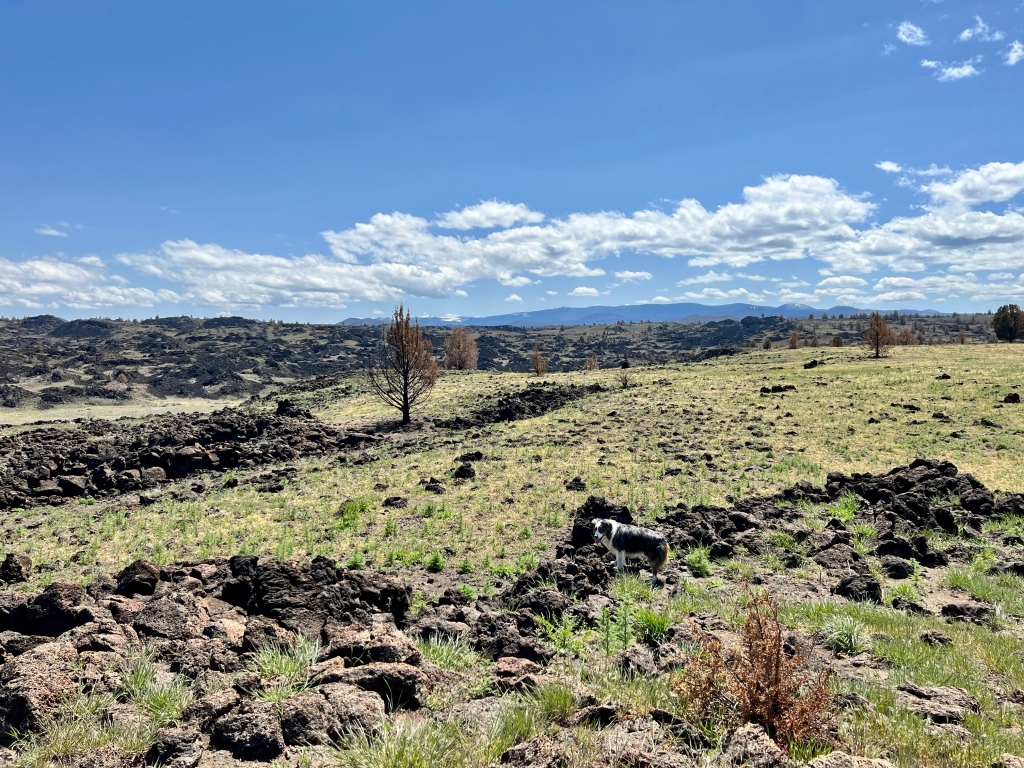
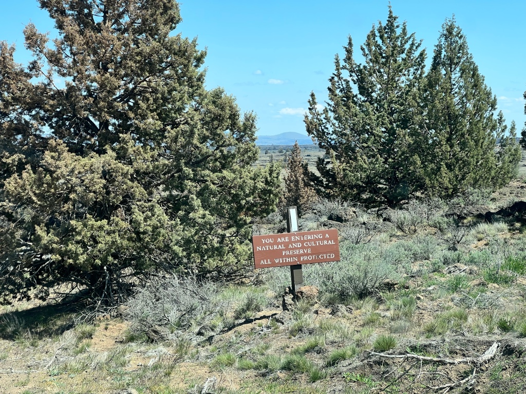
We headed up a gravel road conspicuously labeled “Not Maintained for Public Use”. However, it didn’t say Keep Out, so curiosity demanded it be explored. It turned out that a mile or two up the road, we left the protected area and were on unregulated land. Very attractive land.
I pulled over and Scamp and I got out for a walk/run (I walk, she runs), in the course of which we passed this:
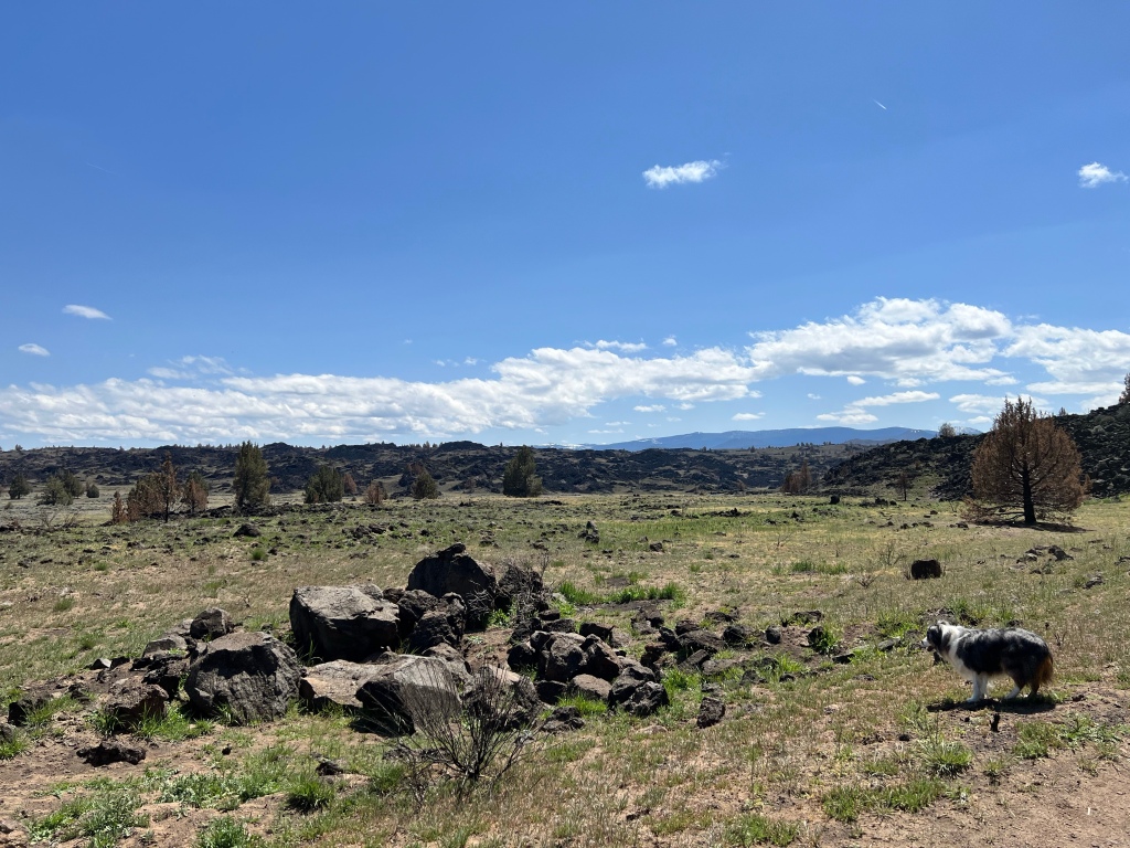
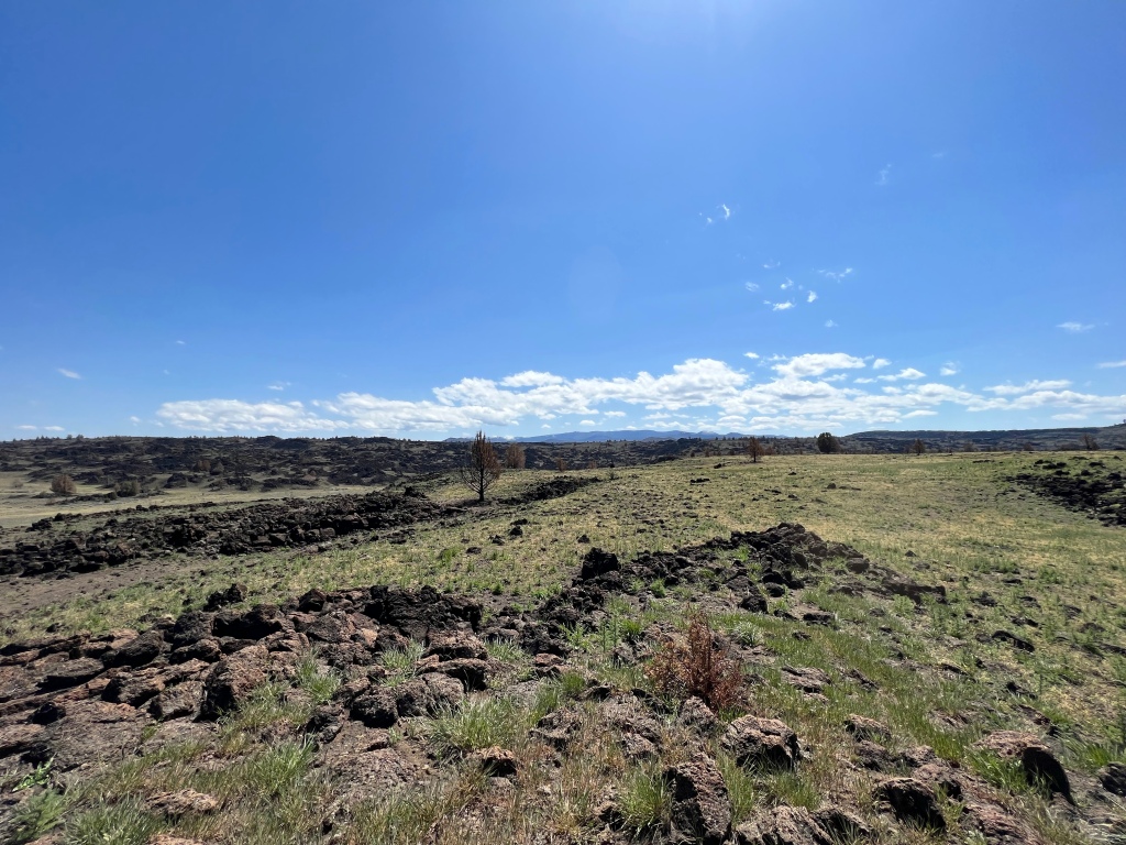
This looked even better for secluded walking, so I cut short the walk along the main road, went back to the van, and explored this offshoot. Which turned out to be another excellent decision. I parked the van and headed out with Scamp. Vistas:
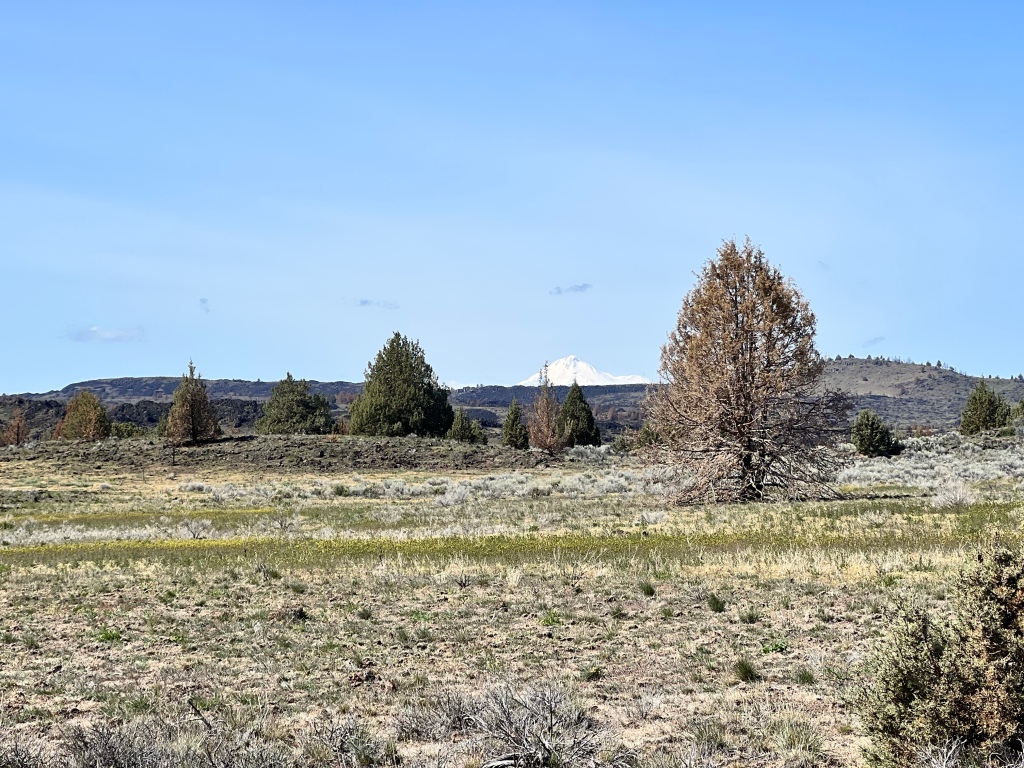
I think that’s Mt. Shasta in the background.
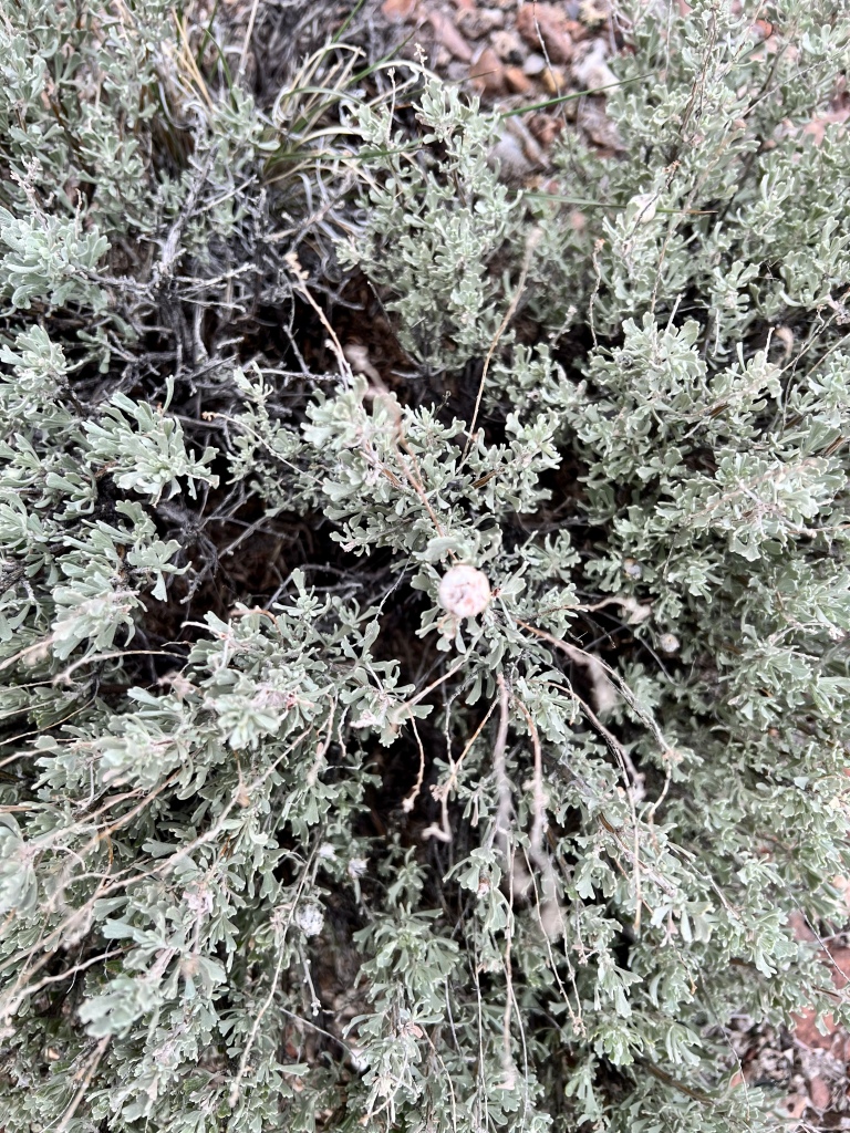
And flowers. Some of them plentiful, for such arid country, as you can see from the above. I took a few closeups.
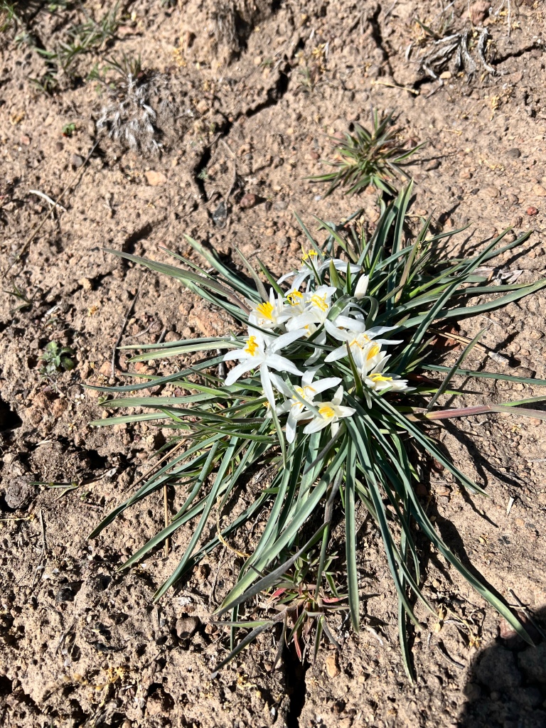
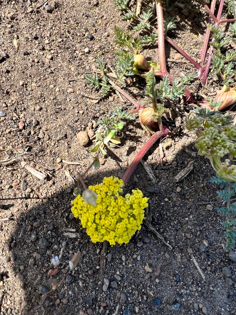
The yellow ones were familiar to me, having spent years in various arid western environments, but the white ones were new to me. Feel free to enlighten me as to what they are if you know. Not that I know what the yellow ones are called, either.
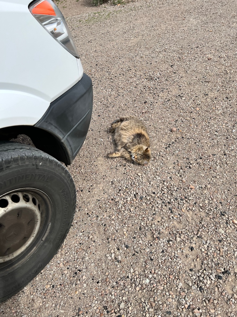
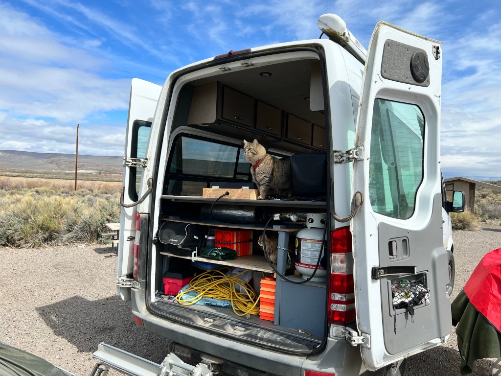
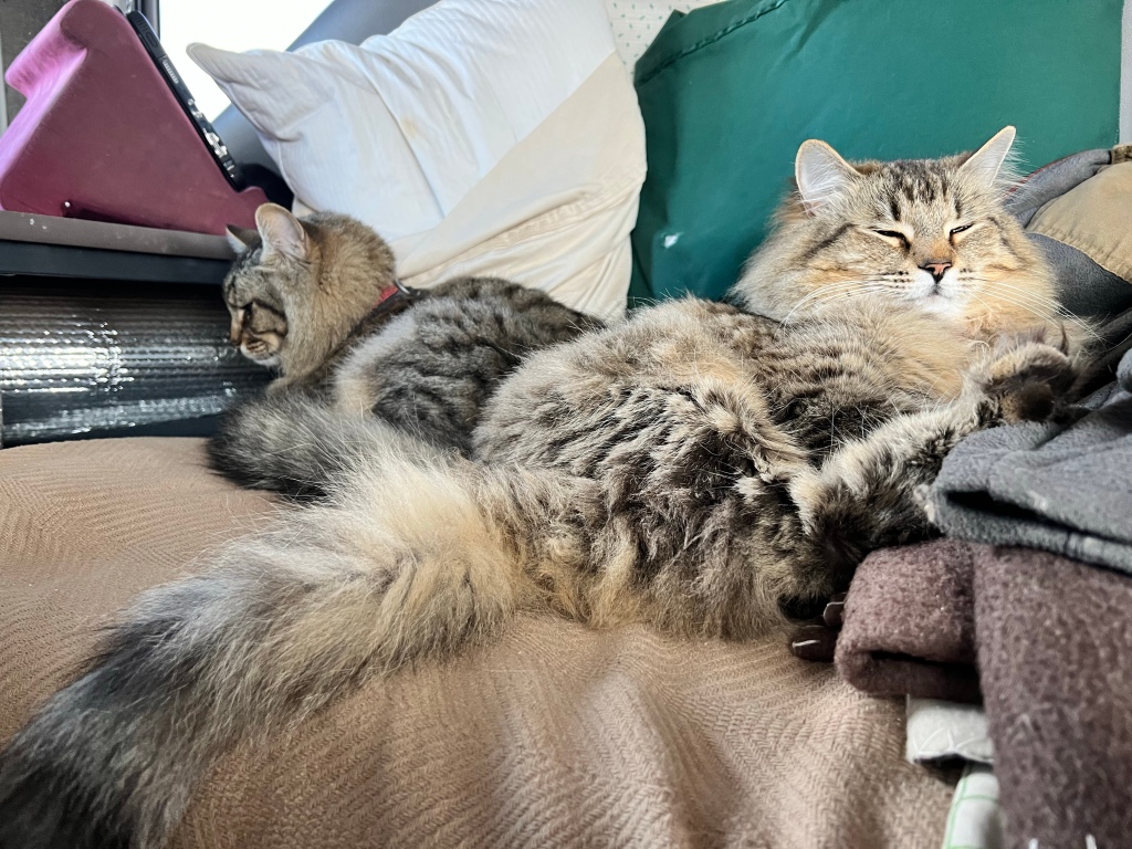
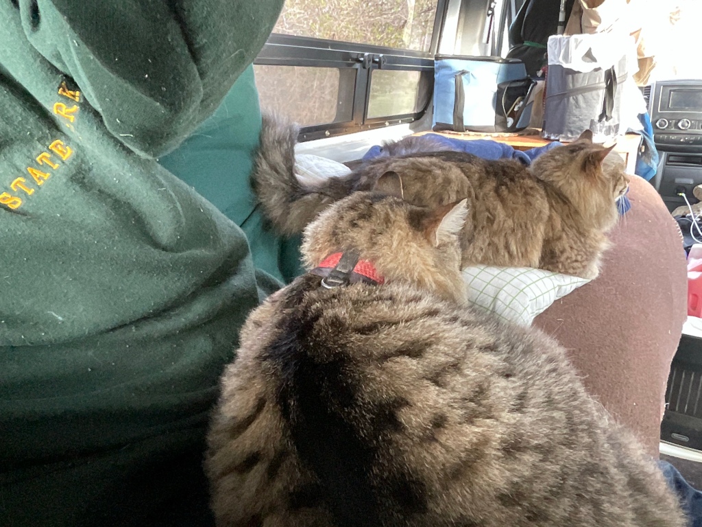
It felt so good to be up there that I decided to stay for lunch, having noticed a good spot for it on our walk. Once parked, I left the door open for critters for awhile. The cats thoroughly approved:
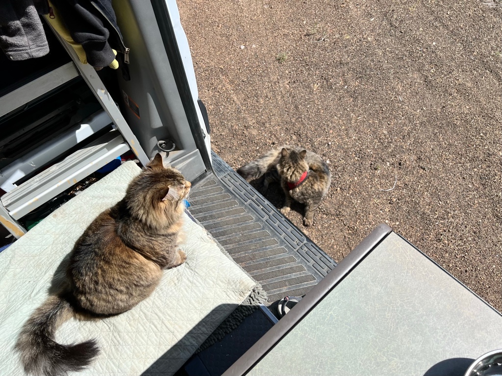
I kicked back for awhile, enjoying my view.
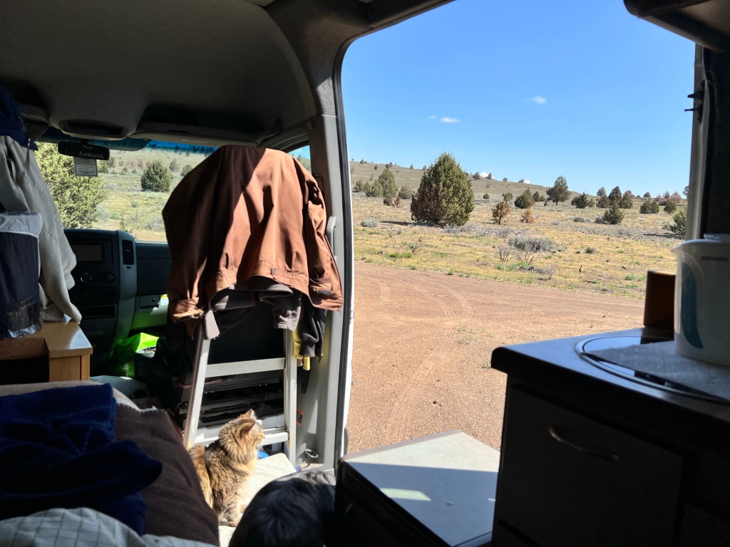
And then I remembered why I hardly ever leave the doors open—flies. So I closed the door, swatted the fly, and made lunch.
After a leisurely lunch, followed by tea and a brief nap (more of a light doze, really), I decided to explore further down the main road. When the road started up a rise, I got nervous about being able to turn the van around, so decided to stop and explore on foot. Scamp had no opinion either way: she’s alway up for a walk wherever we may be. Turned the van around first so I would be ready to head out when we got back.
Here we’re part way up. If I had known the side road I was standing on was there, I’d have driven the van this far and turned around there.
Here are some more from the walk up. They really don’t do the vistas justice; photos never quite do.
As I turned around ready to go back, I saw this.
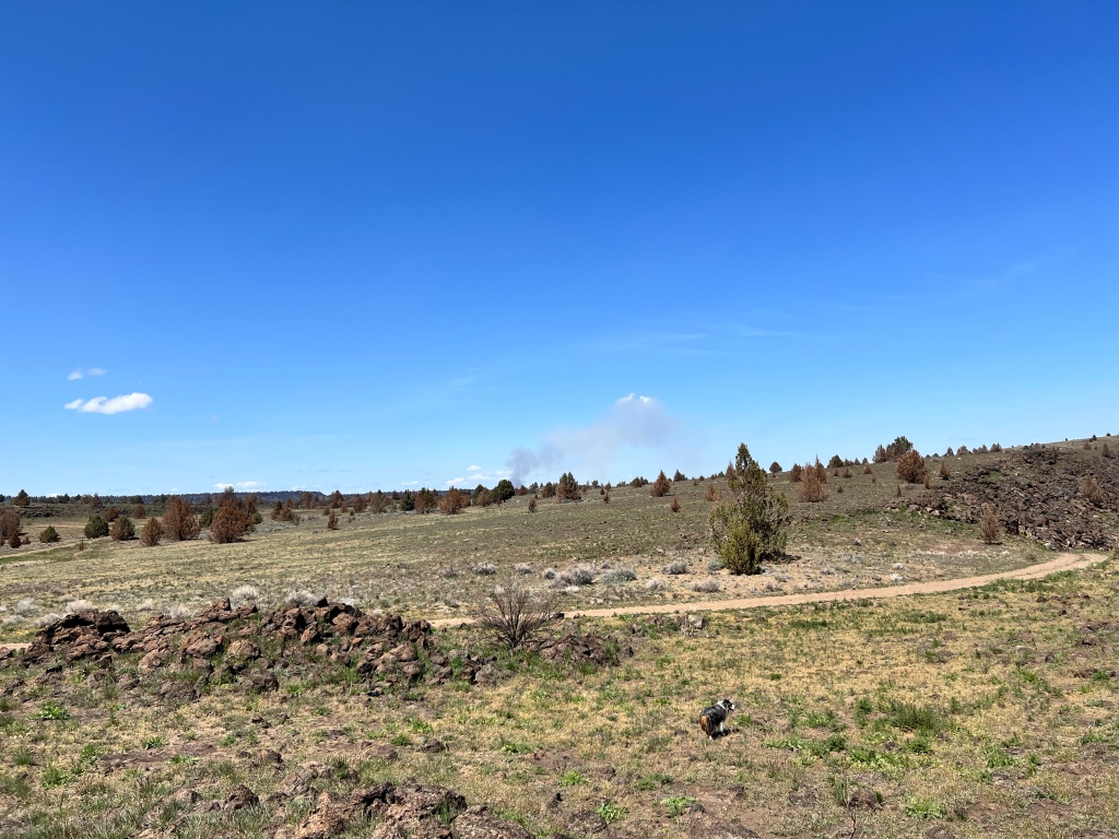
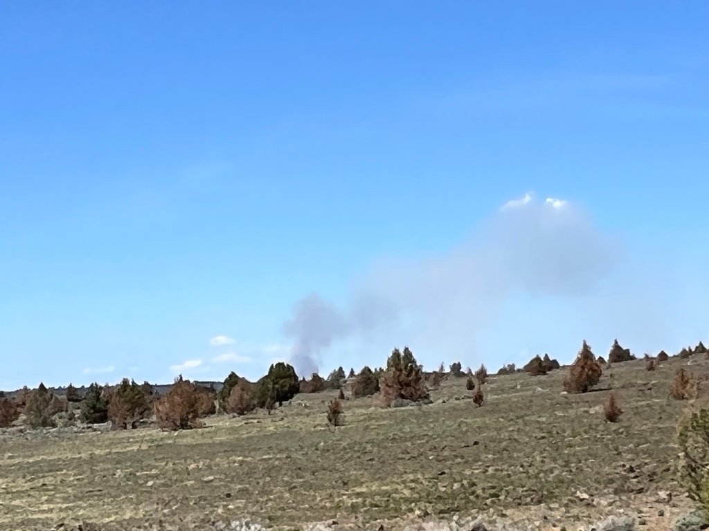
With all the burned areas surrounding me, I was concerned enough that when I got back to the Visitor’s Center I went in to show a park ranger. He reassured me that they see this often at that time of year—apparently farmers in the valley west of there burn their fields to get ready for planting.
Here you can see how far up we’d come. Way down there is a white dot that is the van. Honest. Though you won’t be able to see it unless you enlarge the picture.
Here’s the same view, zoomed in a bit. The van doesn’t pop out at one, but you can at least find it :-).

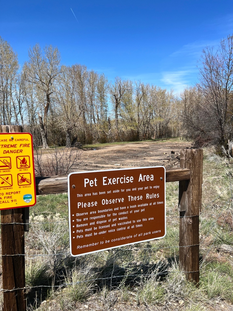
Here’s the sign seen on the way back that proves that Scamp and I were legal on our walks, that we’d been off the Monument lands.
The next morning, I woke up to this.
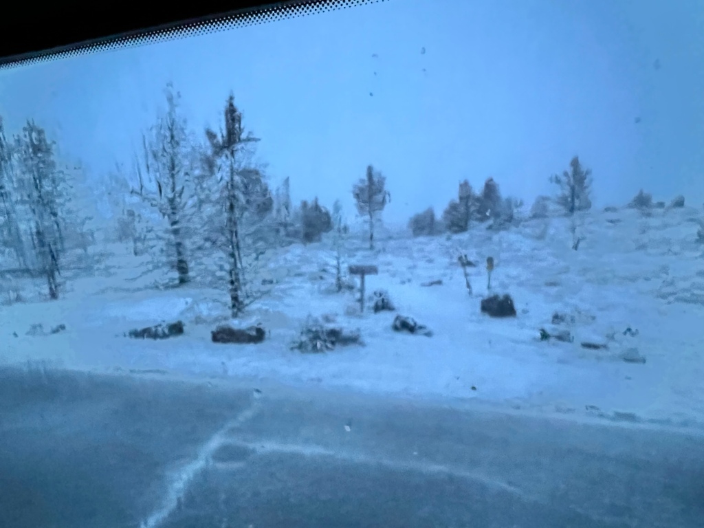
Which surprised and delighted me. The forecast had been for possible rain and snow; during the night I had woken to the sound of rain on the roof and smiled happily to myself. It only lasted maybe 15 minutes or so though, so I consoled myself that anything was better nothing. It didn’t occur to me that the reason for the silence might be that it had turned to snow.
It was still snowing when I got out to get the cats in and take our first walk.
Scamp wasn’t quite sure what to make of it.
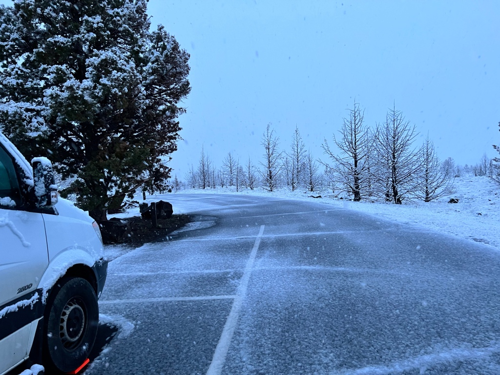
I worried about slick footing, and decided to try my hiking boots. Which turned out not to be any better than my other boots or shoes for walking on slick slushy pavement. But we made it up to the toilets and back without mishap.
The snow didn’t last long, which made it somewhat easier to break camp.
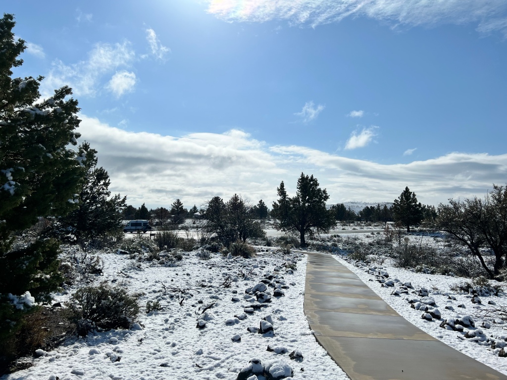
Here are some more shots, taken on our last walk around the CG.
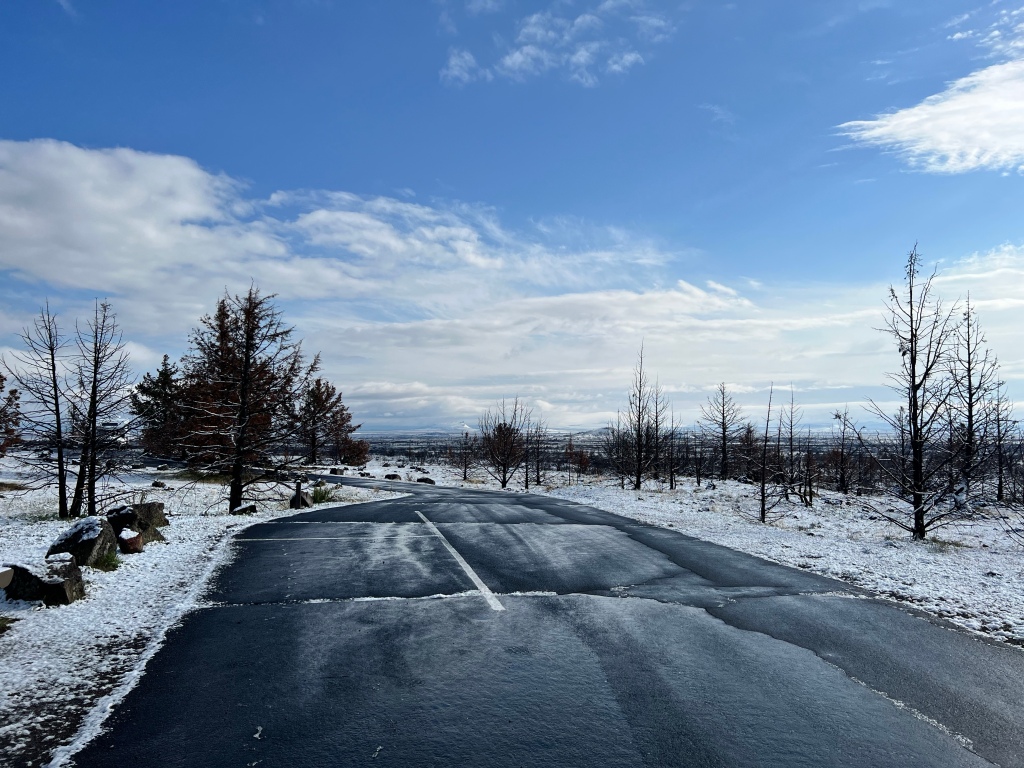
I thought about attempting a different cave before leaving, but this view left me feeling it was ok to wimp out again.
So we headed out toward the next goal, Alturas, the principle attraction of which was a CG with a shower. The view, and near-absence of any other traffic, continued to entrance me. I kept an eye out for a place to stop for a good walk with Scamp, and ended up here.
I let Scamp off the leash, this time against the rules, but with virtually no one else around I decided it was ok. And Scamp was definitely in favor of it.
Because it was a travel day, I cut the walk short, but was glad we got it in.
The drive over to highway 139 was just gorgeous, again mostly because of the skyscapes, and having the road completely to myself, I finally stopped to try to capture some of it.

Again nothing did it justice. The following is the best I could do. I think it was supposed to be a panorama shot, but ended up being a VERY short video, that is pointless as a video but if you pause it IMMEDIATELY after clicking on it, you may get some of the panorama effect.
Town interlude
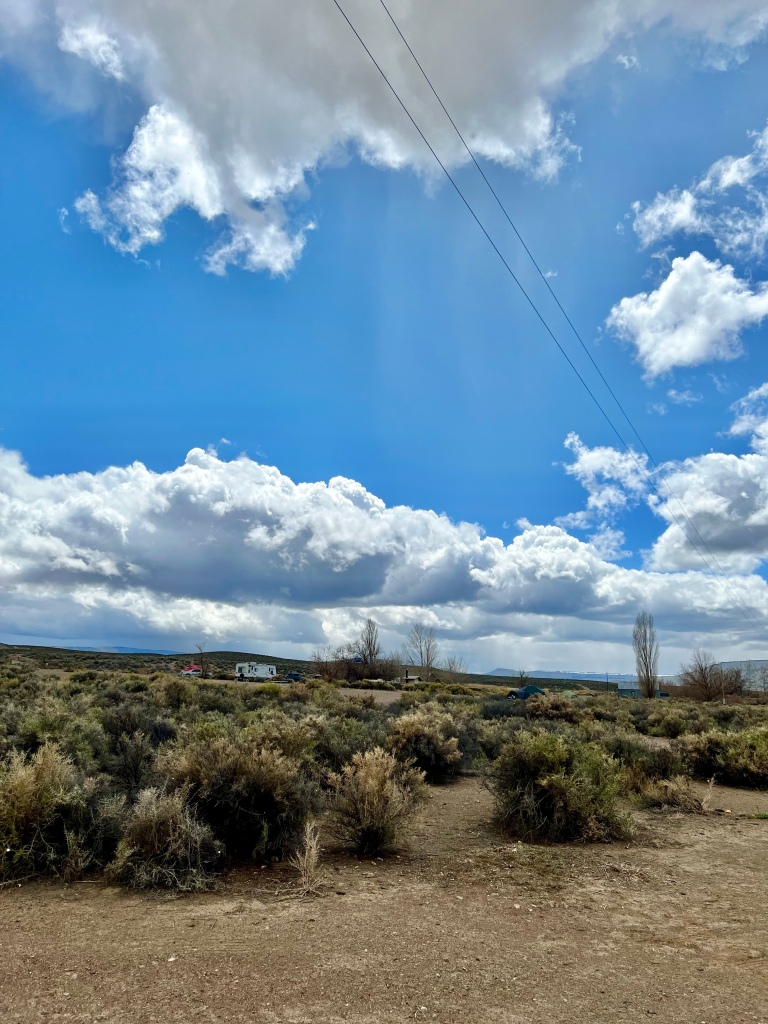
In any case, we made it to Alturas in good time, and settled in to the CG on the edge of town, which turned out to be nicer than I had anticipated. Sullys RV park if anyone is interested. I had a meal in a little spot in town, and got my shower the next morning. Eventually. I was not the only female camper who was there specifically for the shower 😊. But water was hot and plentiful, which was the main thing.
The camp host did a good job of alerting me to Alturas’s attractions, and I was planning a very short drive that day, so after breaking camp I headed just a few miles out of town to the Modoc National Wildlife Refuge, which also serves as a good dog walking place. On leash for sure here, as the wildlife in question is birds, which were nesting I believe, so I definitely didn’t want Scamp disturbing them. Some videos, which are narrated within so am not adding text.
From Alturas I headed up for a night in Lakeview Oregon, mostly to make the next day’s drive out to Sheldon Wildlife Refuge shorter. Since it was such a short hop, I took the time to check out a CG at the Goose Lake State Recreation Area, which is virtually on the border between Oregon and California. The CG wasn’t yet open, but was due to open that Sunday, so I was curious to see if it might be a worthwhile stop on the way back from Sheldon, which was the easternmost point I had planned for this trip.
While the CG was closed, the Day Use Area was open. It was close to lunchtime, and the area was nearly deserted, so I did lunch there and then set out with Scamp to do a little exploring. Enough to convince me it would be worth the twenty minute drive down from Lakeview to stay there on my return trip, partly because of the opportunities for walking Scamp.
We stayed that night at a private CG in Lakeview. It was a utility stop—get groceries, get deisel, sleep, get up, break camp, and drive to Sheldon. The long-term drought the entire West has suffered the last several years was more evident in Sheldon that any of the other places I saw on this trip (if you don’t count all the burned areas we drove through). There were some signs of early spring, but areas of wetland that were still viable the first time I was there five years ago or so had completely dried up. They were starting to dry up back then, and it’s only gotten worse since then. I think the US Fish and Wildlife Service is maintaining some remaining ponds and wetlands in the area using wells, but don’t quote me on that. The ponds with surrounding wetlands were there, but I don’t know where the water was coming from.
I was glad I drove out there, and enjoyed the time there, but it was very windy and correspondingly cold. That wind chill factor thing is real. But the skyscapes were gorgeous, the cats did get some outdoor freedom, and Scamp was all for taking long walks regardless of the conditions. Sadly, she had to settle for medium long walks.

That’s less than half the gorgeous shots I got, but perhaps more than enough for you. But it’s too hard to choose which ones to leave out.
Here’s the happiest camper among us at that venue.
I’m always surprised when I see sagebrush in bloom. Every time. And then I think “Of course it blooms! It has to reproduce somehow, dummy!” And then I remember how many times I’ve been through that sequence before.
Several short rains blew through while we were there, contributing to those gorgeous skyscapes, but driving me and the cats into the van. The cats, of course, took every opportunity to oust me from my spot, but I did reclaim it when I wanted it.
I had gotten there early enough that by the next morning I felt I’d had enough, and the lure of Goose Lake was calling to me, so the next morning I decided to head back.
The sky continued to enthrall me on the drive back, enhanced on the rises by glimpses of snow on the mountains in the distance. So when I saw an opportunity, I pulled over for a picture.
Since it was Sunday, and scheduled to be the first day for the CG to be open, I had some concern as to whether it would really be open, but it was. The camp hosts were busy cleaning small branches from sites and returning tables to their places when I arrived, but a couple of other rigs had already picked their spots and were set up, although the hosts told me the gate had only been open an hour. I took my time picking my spot—drove around the loop a couple of times, then pulled into one that looked good and got out to walk the loop with Scamp, and dithered between a couple of other spots, taking careful note of the view options they offered. Finally settled into this one, carefully positioning the van to optimize the view, and registered.

In order to get that view, I pulled forward into the site, angling the van to maximize my viewing pleasure. However, some time in the past thirty years or so, all CGs decided people should back into sites instead of going into them forward, and place the registration slip on the dashboard on the driver’s side to make it convenient for camp hosts to check them. I’d had a lovely conversation with the hosts upon entering the CG, and didn’t want to make things awkward for them, so I decided to tape the registration slip in the back window where they could easily see it. I knew I had some tape somewhere in the van, and began a thorough search for it when a more cursory search didn’t turn it up.
And found this.
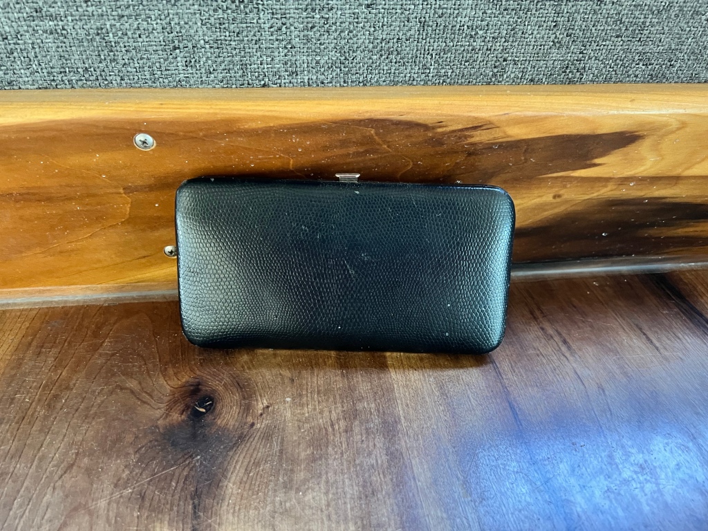
That was the wallet the loss of which caused me to abort my trip to the southwest. Which is now no longer lost.
My primary emotion was relief. Some chagrin at not having found it back when I first misplaced it, thereby avoiding all the ensuing hassle of replacing license, cards, checking account, etc. but mostly relief. I no longer have to worry about having my identity stolen or wait for the other shoe to drop if someone tried to use my card or cash a check on the old account. It felt almost euphoric.
Turned out the wallet was in my bag of masks and sanitizer that I have carried since early covid days. I had picked it up to empty things out to see if the tape might be in the bottom of the bag, and found the wallet. It took my old brain several seconds to process what I was seeing.
What I now think happened is that when I got back to the van from registering at the CG after that stressful first day out described above, I must have opened the door and put the wallet in the first black bag I saw. The wallet is black, the covid supply bag is black and my backpack where the wallet belongs is black. I had looked into the covid supply bag when hunting for the wallet, more than once, but had not dug down into it, and the black wallet just blended into the black bag. It’s either that, or the wallet went through a black hole and hid in another dimension, and returned when it decided it had put me through enough and I’d learned my lesson.
Part of the relief was because losing the wallet had made me feel less safe about traveling on my own. I’ve traveled alone ever since I got my first car in my twenties, and never worried about it, but I am getting older, and have much less stamina, which contributed to my fog the day I misplaced the wallet, and that had me worried, as I said above. Having found that I did not in fact leave the wallet where someone could take it encourages me. Even in the midst of the brain fog and physical exhaustion, I did not in fact entirely lose the wallet. That plus this successful trip—my longest solo trip since 2019–has me feeling once again that it’s safe for me to travel on my own.
So, back to the travelogue.
Even apart from finding the wallet, the stay at Goose Lake was just what I needed. Walks with Scamp,


letting the cats out (though they mostly came right back in again), beautiful views,
and lots of lazing around.


The day between my two nights there was cold and stormy,
which gave me a good excuse for that lazing about.
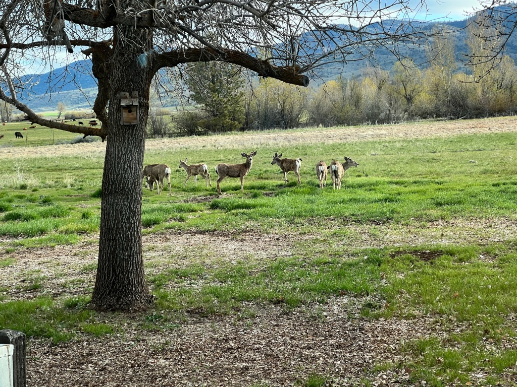
Some mule deer showed up the next morning.
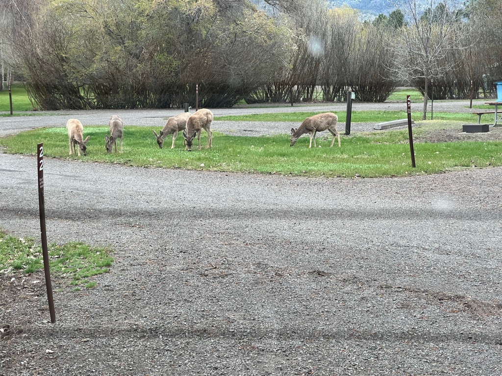
And kept me entertained for awhile.

Part of my view was a field of cattle. On the stormy morning, I saw the below, the rancher feeding them—it was dramatic enough I tried to get some video, but you can’t hear me much over the wind taking over the phone’s microphone, which was a shame because much of the drama was the lowing of the cattle. The second one is a bit better. But the videos also show the scenery to good effect.
Birds are touted as a major draw for Goose Lake. I saw a few, though not a lot. This was the best I caught of geese flying over, though I saw and heard them consistently while there. One must post something of geese while at a place called Goose Lake, right?
Leastways, I thought they were geese. They could have been ducks 😁.
The second morning, I got this after our morning walk. The point is the sound, so turn up the sound on your device to hear it.
There was a British couple who live in Cyprus who apparently come over to the U.S. in general and Goose Lake in particular for the birds every year (nice for some, as the British say). Having gotten the video above, I played it for the woman, who was walking around the CG with large camera in hand. She had not yet seen sandhill cranes, so I pointed to where I thought they were. She let me know later that she had gotten a picture of them—I felt absurdly gratified by that.
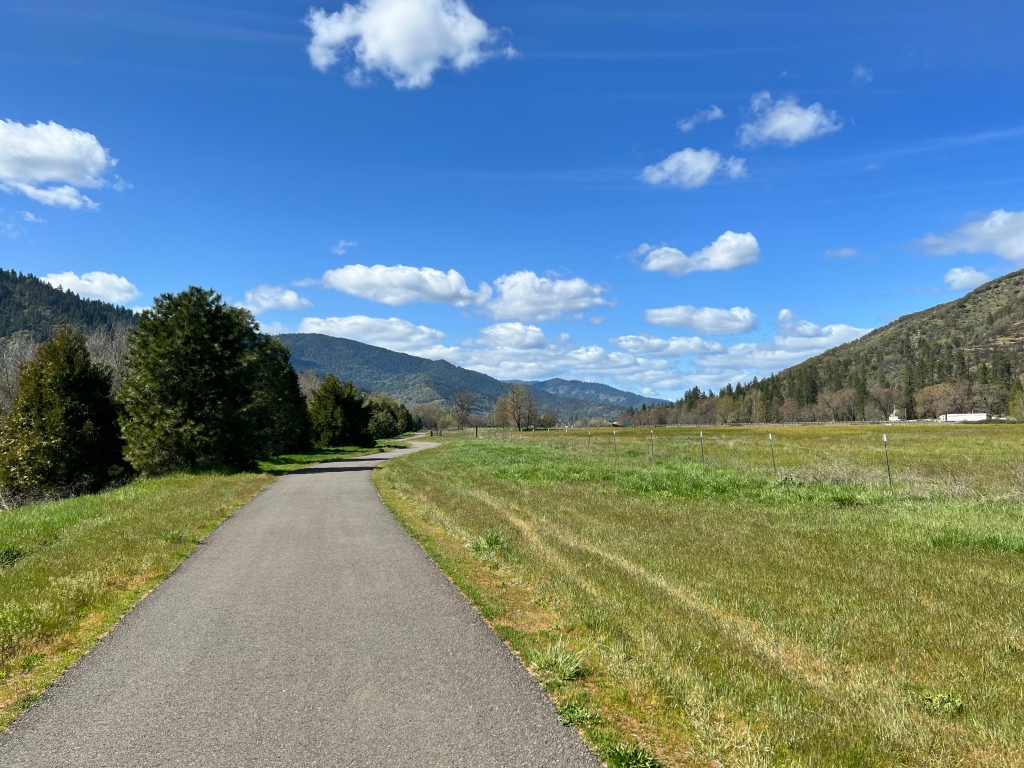
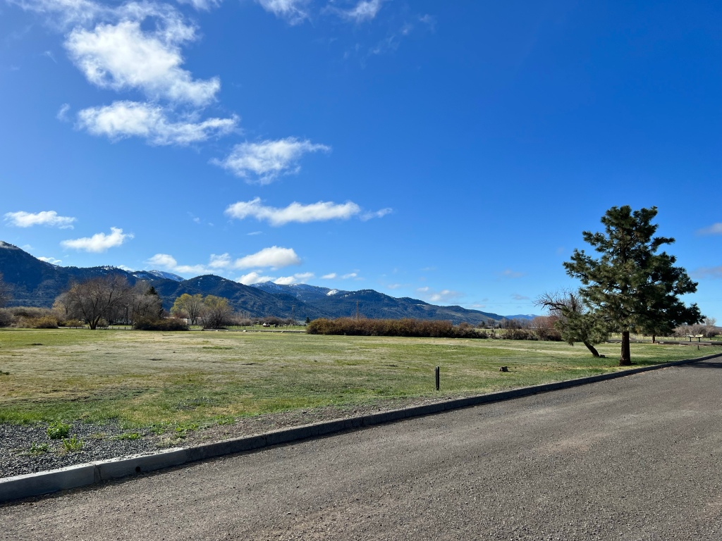
I headed back to Buck Creek for a homeward stop. There are some CGs by what used to be at least wetlands if not lakes, but they’ve dried up from the drought, so I didn’t even consider stopping there once I saw the conditions. Buck Creek was even more beautiful than it was on our way out. Enhanced by the fact that once again we had it all to ourselves.
I thought about spending another day there, but there was another storm due in over the Cascades that I would have been driving through if I stayed another night, so I resisted the pull of Buck Creek and loaded up to leave. Just as I was almost ready to pull out, a couple of other campers pulled in with large rigs and began figuring out where to situate themselves. I took it as endorsement of having made the right decision. It was a long (for me, these days—these things are relative, you know) drive home, but I made it ok, and that storm did move in the next day, so I was happy to be in my house, with my shower.
Well. It has taken me FOREVER to get this done (I’ve been home almost a month now), but I’m FINALLY finished. As are you, and well done and I’m amazed if you actually read this whole thing. But it’s been so long since I’ve posted, and have done so many trips that I’ve intended to post but didn’t get done, that I persisted, and here we are. Just in time—I leave two days from now on my next trip. Which I may or may not post—no promises either way 😊.

Hey Jean I loved your skyscapes. Thanks. Always fun to share your adventures.
LikeLiked by 1 person
The beautiful sky, clouds and panoramas–impressive! I loved the travelogue and the adventures along the way. (except the lost wallet which is a huge fear of mine–glad it was located) My cat is also an early warning system for birds, other cats, squirrels and an occasional possum in the yard. 🙂 You certainly got a mix of weather but I guess when there are mountains involved it’s logical!
LikeLiked by 1 person
Can’t ask for much more than the big sky and open vistas. Sorry to read about Schrödinger’s Wallet, but these things happen. I wonder if your pets really understand how good they’ve got it.
LikeLiked by 1 person